Prehistoric Dartmoor Walks, walking the Stone Rows and Stone Circles of Dartmoor
HomeWalksSites Access Resources
Dartmoor Site: Wedlake Farm Cairn

Wedlake Farm Cairn

Wedlake Farm Cairn

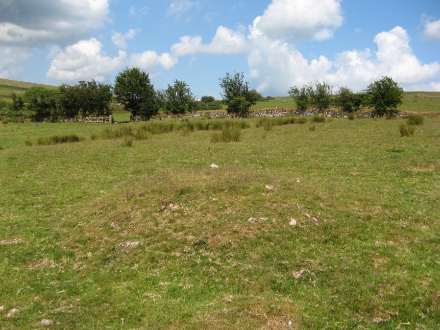
Photo taken on 14-07-2019

Database entries

OS Map: SX 53893 77408
OS Source: Garmin
HER: MDV33612
Alternate name: Wedlake Farm
Short Name: CN WedlakeFarm
Exist: Yes
Record: Unique
Record Source: HER
Cairn Class: Yes
Dimensions (m): 5 x 0.5
Lidar: SX 53893 77408
Nearby sites: SX 53893 77408

Notes

"Small turf covered cairn, 5m diameter, 0.5m high, near centre of field". HER grid reference is 6 digit so location could be more that 100 metres out. UPDATE: The author walked along the bridal path near Wedlake Farm on 14/07/19 and a cairn was seen some distance from the HER grid reference SX 538 774 at SX 53893 77408. It seems very likely that this is the site - see photo. This record now uses the new grid reference. Now listed as "cairn" rather than "reported cairn".

Google Satellite Map

Page last updated 18/02/24