Prehistoric Dartmoor Walks, walking the Stone Rows and Stone Circles of Dartmoor
HomeWalksSites Access Resources
Dartmoor Site: Royal Hill, wall Reported Cist

Royal Hill, wall Reported Cist

Royal Hill, wall Reported Cist

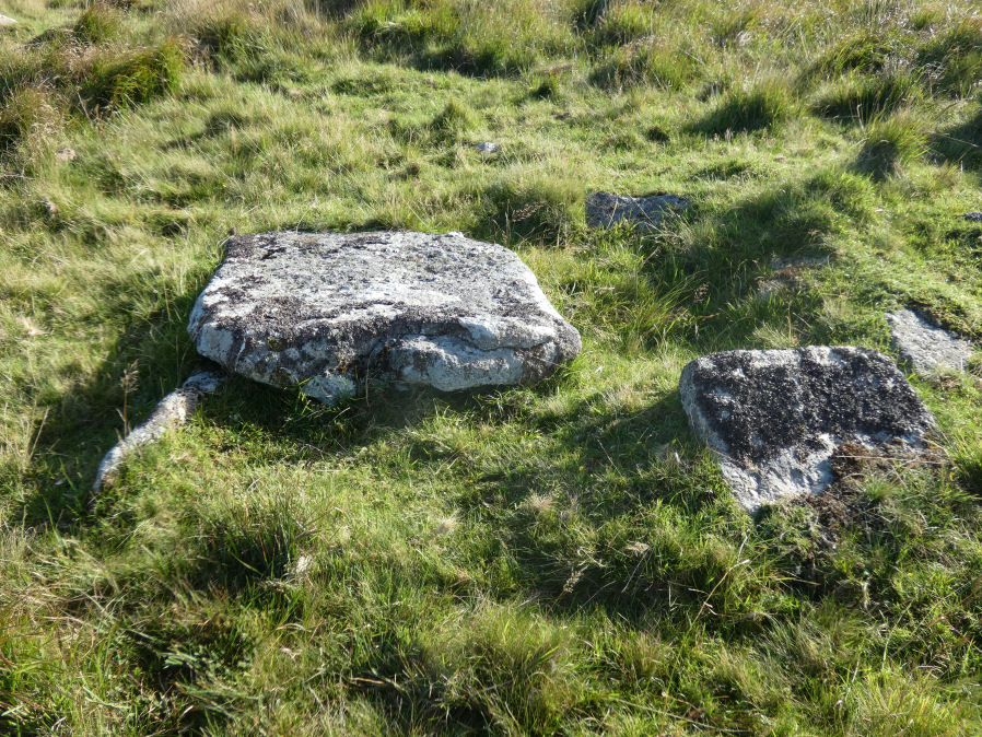
Photo taken on 04-09-2023

Database entries

OS Map: SX 62646 72246
OS Source: Garmin
HER: MDV18403
PMD: Swincombe
Alternate name: Royal Hill, wall
Short Name: CT-RoyalHill 9
Exist: Yes
Record: Unique
Record Source: NMR
Cist Class: Maybe
Cairn Class: Maybe
Lidar: SX 62646 72246
Nearby sites: SX 62646 72246

Notes

The suggested cist, beside a length of bank and with numerous earthfast stones in visibility. The primary feature is a rectilinear slab 1.5 metres long, 1.2 metres wide and 0.1 metres thick. Its north-east corner rests upon a thin embedded stone, about 0.8 metres long and 0.1 metres high, and the slab is thus raised from the surface ... The impression gained is that, being similar to a coverstone, the large slab has been moved in the false expectation of a cist beneath.

Google Satellite Map

Page last updated 18/02/24