
Chittaford Down Platform Cairn Circle
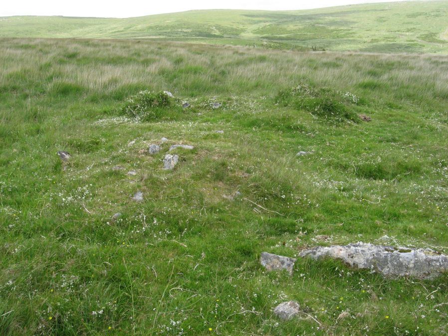
Photo taken on 27-06-2015
Database entries
OS Map: SX 63502 79203
OS Source: Garmin
Butler OS: SX63507920
HER: MDV5832
Megalithic Portal: 42726
PMD: Archerton
Alternate name: Chittaford Down 1
Short Name: PC Chittaford1
Butler map: 27.18.1
Butler Vol 5: p.170 & Fig.109
Grinsell: LYDFORD 38
Turner: E14
Exist: Yes
Record: Unique
Record Source: Butler
Hut Class: No
Cist Class: Maybe
Cairn Class: Yes
Dimensions (m): c.7.0 x 0.3
Lidar: SX 63502 79203
Guide Map: 26
Nearest Bus Stop: Postbridge Post Office (1.7 km) [Route: 98,171(20/07/26 to 19/09/26)]
Nearby sites: SX 63502 79203
Notes
"Remains of a cairn, visible as a turf covered stony mound. The NE quadrant is robbed out but around the rest of the periphery are parts of a kerb of small boulders, some set on edge, giving a diameter of 6.5m NW-SE. Maximum height 0.6m in the SW quadrant, but elsewhere the interior is badly robbed." Butler says there is a possible end slab of a cist.References
These are selected references with an emphasis on out of copyright sources linked as PDFs. For more detailed references try any linked HER or PMD record above.
- Butler, Jeremy, Dartmoor Atlas of Antiquities, vol.2: The North, (1991)
- Butler, Jeremy, Dartmoor Atlas of Antiquities, vol.5: The Second Millennium B.C., (1997)
- Grinsell, L.V., Dartmoor Barrows, Devon Archaeological Society Proceedings No.36 (1978)
- Prowse, Arthur B., The Ancient Metropolis of Dartmoor, T.D.A. Vol.23 pp.307-14 (1891)
- Turner, J.R., Ring Cairns, stone circles and related monuments on Dartmoor, D.A.S.P. No.48 pp.27-86 (1990)