
Shaugh Moor (N) Cairn Circle
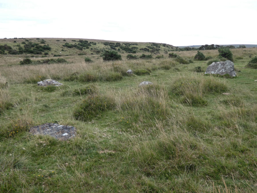
Photo taken on 12-09-2022
Database entries
OS Map: SX 55419 63496
OS Source: Garmin
HER: MDV5596
Megalithic Portal: 3458
Alternate name: Shaugh Moor N.1
Short Name: CC ShaughMo N1
Turner: G18
Exist: Yes
Record: Unique
Record Source: PDW
Hut Class: No
Cairn Class: Yes
Dimensions (m): 8.2
Lidar: SX 55419 63496
Guide Map: 53
Nearest Bus Stop: Shaugh Prior White Thorn Inn (1.7 km) [Route: 59]
Nearby sites: SX 55419 63496
Notes
"Whether the stones represent the remnants of a stone circle, a cairn circle, or even a hut is debateable". "The remains of a circle of stones lie on a north-west facing hill slope at 256m above OD on unenclosed moorland. It survives as a partial ring of five boulder and stones with an off-centre earthfast boulder; the overall diameter was approximately 10.0m to 10.6m across. The largest of the two slabs which remain upright is 0.8m high, 1.7m wide and 0.3m thick."References
These are selected references with an emphasis on out of copyright sources linked as PDFs. For more detailed references try any linked HER or PMD record above.
- Fletcher, M. + Probert, S., Shaugh Moor, Devon: An Archaeological Survey, 3, Royal Commission on the Historical Monuments of England Report (1998)
- Turner, J.R., Ring Cairns, stone circles and related monuments on Dartmoor, D.A.S.P. No.48 pp.27-86 (1990)