
Okehampton Camp Road 1 Cairn
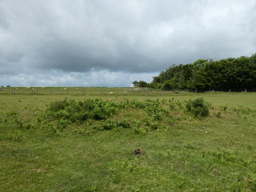
Photo taken on 26-06-2022
Database entries
OS Map: SX 59152 93540
OS Source: Garmin
HER: MDV20156
Alternate name: Okehampton Camp Road 1
Short Name: CN CampRoad 1
Grinsell: OKEHAMPTON HAMLETS 6
Exist: Yes
Record: Unique
Record Source: Grinsell
Hut Class: No
Cairn Class: Yes
Dimensions (m): 7 x 0.5
Lidar: SX 59152 93540
Guide Map: 1
Nearest Bus Stop: Okehampton Railway Station (1.2 km) [Route: 118,306,6A]
Nearby sites: SX 59152 93540
Notes
A small, largely turf-covered cairn, 12 metres north to south by 11.3 metres, standing up to 0.6 metres high.References
These are selected references with an emphasis on out of copyright sources linked as PDFs. For more detailed references try any linked HER or PMD record above.
- Grinsell, L.V., Dartmoor Barrows, Devon Archaeological Society Proceedings No.36 (1978)
- Newman, Phil, Archaeological Sites within Okehampton Training Area, Southwest Landscape Investigations (2014)