
Ausewell Rocks E. Cairn
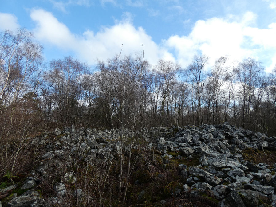
Photo taken on 20-12-2025
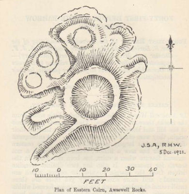
Plan by J.S. Amery and R.H. Worth (Barrow Report 41)
Database entries
OS Map: SX 73548 71735
OS Source: Google
HER: MDV8019
Alternate name: Ausewell Rocks E.
Short Name: CN Ausewell E
Grinsell: ASHBURTON 3
Exist: Yes
Record: Unique
Record Source: Grinsell
Hut Class: No
Cairn Class: Yes
Barrow Report: 41
Dimensions (m): 18.3 x 2.1
Lidar: SX 73548 71735
Guide Map: 41
Nearest Bus Stop: Ashburton Bull Ring (3.5 km) [Route: 38,88]
Nearby sites: SX 73548 71735
Notes
HER: Eastern cairn of a pair south-east of Ausewell Rocks. Recorded by the Ordnance Survey in 1960. This cairn measures 18m in diameter and has a crater-like centre with two trenches driven from the margin towards the centre, and 3 small round chambers like hut circles within the margin; all modern disturbances.Barrow Report 41: The eastern of the pair has now a, hollow, crater-like centre, a not unusual feature when a cairn has been ransacked in the search for treasure. It also has two distinct trenches driven from the margin toward the centre, which are unusual; and more exceptionally yet there are three small round chambers, much like hut-circles, formed within the margin, and. two other irregular openings have been formed. At what date these changes were wrought is unknown. Within Mr. J. S. Amery's recollection the cairn has always stood much as it now is. Mr. Amery and the Secretary made, last December, a Survey of this cairn, which is here reproduced. The height of the heap is between 7 and 8 ft., its diameter at the base is about 60 ft.
References
These are selected references with an emphasis on out of copyright sources linked as PDFs. For more detailed references try any linked HER or PMD record above.
- Grinsell, L.V., Dartmoor Barrows, Devon Archaeological Society Proceedings No.36 (1978)
- Worth, R. Hansford, Barrow Report 41, T.D.A. Vol.54 pp.69-72 (1922)