
Stalldown Encircled Cairn
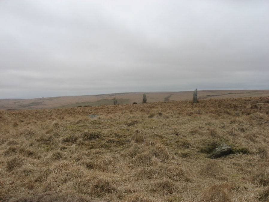
Photo taken on 19-03-2016
Database entries
PDW coverage: Dartmoor Site: Stalldown Stone Row [Photo Set 2]
OS Map: SX 63208 62489
OS Source: Garmin
Butler OS: SX63206248
HER: MDV4298
Megalithic Portal: 531
Alternate name: Stalldown Summit 3
Short Name: EC Staldon 3
Butler map: 54.18.3
Grinsell: CORNWOOD 19
Turner: F22
Exist: Yes
Record: Unique
Record Source: Butler
Hut Class: No
Cairn Class: Yes
Dimensions (m): 14.5 x 0.5
Lidar: SX 63208 62489
Guide Map: 56
Nearest Bus Stop: Cornwood Crossways (5.2 km) [Route: 59]
Nearby sites: SX 63208 62489
Notes
Cairn with double or multiple ring. Butler Cairn 3 just to the west of the stone row, Butler Cairn 4 is just to the east. A flat topped turf-covered cairn 9.0m in diameter and 0.7m high, in good condition. Settings of Stones in and around the structure suggests a complex cairn circle. The author counted 17 stones in the circle around this cairn. This is difficult to see in the photo as most are concealed under vegetatio, the stone row can be seen in the background. Also visible towards the centre of the circle is a rectangular pit which is probably evidence of excavation. Turner F22, Type FiiReferences
These are selected references with an emphasis on out of copyright sources linked as PDFs. For more detailed references try any linked HER or PMD record above.
- Baring-Gould, Sabine, Fourth Report of the Dartmoor Exploration Committee, T.D.A. Vol.29 pp.145-65 (1897)
- Butler, Jeremy, Dartmoor Atlas of Antiquities, vol.4: The South-East, (1993)
- Grinsell, L.V., Dartmoor Barrows, Devon Archaeological Society Proceedings No.36 (1978)
- Newman, Phil, The Upper Erme Valley Dartmoor National Park Devon An Archaeological Survey, Southwest Landscape Investigations (2018)
- Robinson, Rosmary and Cosford, Judith, Dartmoor multiple stone circles, D.A.S.P. No.44 pp.166-170 (1986)
- Turner, J.R., Ring Cairns, stone circles and related monuments on Dartmoor, D.A.S.P. No.48 pp.27-86 (1990)
- Worth, R. Hansford, The Stone Rows of Dartmoor Part 1, T.D.A. Vol.78 pp.285-316 (1946)