
Legis Lake Encircled Cairn
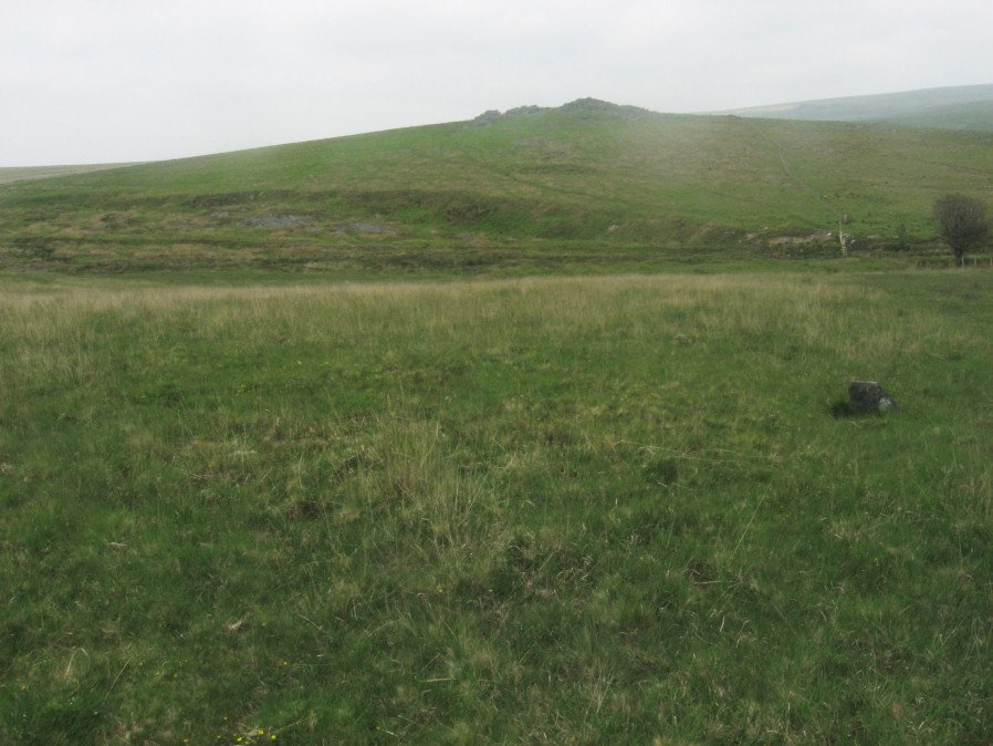
Photo taken on 05-06-2016
Database entries
OS Map: SX 56563 65513
OS Source: Garmin
Butler OS: SX56566550
HER: MDV3360
Megalithic Portal: 34135
Alternate name: Ringmoor Down 1
Short Name: EC Ringmoor 1
Butler map: 49.21.1
Grinsell: SHEEPSTOR 21
Turner: F15
Exist: Yes
Record: Unique
Record Source: Butler
Hut Class: No
Cairn Class: Yes
Barrow Report: 29 35
Dimensions (m): 10.0 x 0.3
Lidar: SX 56563 65513
Guide Map: 47
Nearest Bus Stop: Meavy Primary School (3.5 km) [Route: 56]
Nearby sites: SX 56563 65513
Notes
"cairn with retaining circle of which 5 stones protrude and there are indications of others. Diameter 8.2m, height 0.2m. Excavated by r. H. Worth: just n of centre, a pit containing charcoal mixed with earth."References
These are selected references with an emphasis on out of copyright sources linked as PDFs. For more detailed references try any linked HER or PMD record above.
- Breton, Henry Hugh, Beautiful Dartmoor And Its Interesting Antiquities, (1990)
- Butler, Jeremy, Dartmoor Atlas of Antiquities, vol.3: The South-West, (1994)
- Grinsell, L.V., Dartmoor Barrows, Devon Archaeological Society Proceedings No.36 (1978)
- Newman, Phil, Ringmoor Down Premier Archaeological Landscape - A new survey , Southwest Landscape Investigations (2022)
- Turner, J.R., Ring Cairns, stone circles and related monuments on Dartmoor, D.A.S.P. No.48 pp.27-86 (1990)
- Worth, R. Hansford, Barrow Report 29, T.D.A. Vol.42 pp.62-3 (1910)
- Worth, R. Hansford, Barrow Report 31, T.D.A. Vol.44 pp.83-5 (1912)
- Worth, R. Hansford, Barrow Report 35, T.D.A. Vol.48 pp. (1916)