
Butterdon Hill Encircled Cairn
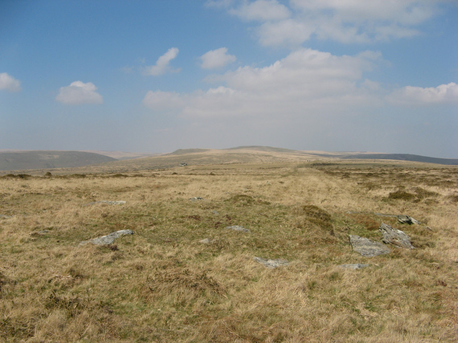
Photo taken on 30-03-2019

Plan by RHW Retaining circles associated with stone rows Dartmoor (1941)
Database entries
PDW coverage: Dartmoor Walk: The Erme East stone rows
OS Map: SX 65634 58816
OS Source: Google
Butler OS: SX65635880
HER: MDV2897
Megalithic Portal: 722
PMD: Butterdon Row
Alternate name: Butterdon Hill stone row
Short Name: EC Butterdon 1
Butler map: 53.8.1
Grinsell: HARFORD 16
Turner: F8
DPD page: 78
Exist: Yes
Record: Unique
Record Source: Radcliffe
Hut Class: No
Cist Class: Maybe
Cairn Class: Yes
Dimensions (m): c.11.0 x 0.6
Lidar: SX 65634 58816
Guide Map: 58
Nearest Bus Stop: Ivybridge BP Garage (Stop B) (4.3 km) [Route: 38]
Nearby sites: SX 65634 58816
Notes
A low cairn within a retaining circle of stones is situated at SX65635881, at the south end of the Butterdon stone row (SX 65 NE 17), with which it is associated. The circle is 11 metres in diameter, and consists of twelve stones, all now recumbent, although when Worth wrote in 1941, one was erect and three were leaning. Some of the stones are unusually large. The cairn is 9 metres in diameter by 0.3 metre high, with a hollow in the centre. Radcliffe reports: Mike Brown says the row "terminates in a small kistvaen" at its southern end. Hemery says the cist "has been removed". Lethbridge p.78 Row 1 diagram p.77.References
These are selected references with an emphasis on out of copyright sources linked as PDFs. For more detailed references try any linked HER or PMD record above.
- Butler, Jeremy, Dartmoor Atlas of Antiquities, vol.4: The South-East, (1993)
- Davidson, C. & Seabrook, R., Stone rings on south-east Dartmoor, D.A.S.P. No.31 (1973)
- Falcon, T.A., Dartmoor: A Note On Graves, T.D.A. Vol.37 pp.457-461 (1905)
- Grinsell, L.V., Dartmoor Barrows, Devon Archaeological Society Proceedings No.36 (1978)
- Lethbridge, William D., Discover Preshistoric Dartmoor, (2015)
- Turner, J.R., Ring Cairns, stone circles and related monuments on Dartmoor, D.A.S.P. No.48 pp.27-86 (1990)
- Worth, R. Hansford, Retaining circles associated with stone rows Dartmoor, T.D.A. Vol.73 pp.227-38 (1941)
- Worth, R. Hansford, Dartmoor: 1788-1808, T.D.A. Vol.73 pp.203-226 (1941)
- Worth, R. Hansford, The Stone Rows of Dartmoor Part 1, T.D.A. Vol.78 pp.285-316 (1946)
- Worth, R.N., The Stone Rows of Dartmoor - Part 1, T.D.A. Vol.24 pp.387-417 (1892)