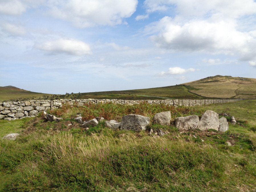
Seven Lords' Lands Encircled Cairn

Photo taken on 26-08-2017
Database entries
OS Map: SX 74127 76237
OS Source: Google
Butler OS: SX74127624
HER: MDV7396
Megalithic Portal: 3454
PMD: Seven Lord's Lands
Alternate name: Sevon Lords Lands
Short Name: EC 7LordsLands
Butler map: 9.10
Butler Vol 5: p.51 & Fig.29
Grinsell: WIDECOMBE IN THE MOOR 13
Turner: F1
Exist: Yes
Record: Unique
Record Source: Butler
Hut Class: No
Cairn Class: Yes
Barrow Report: 53
Dimensions (m): 10.0 x 0.6
Lidar: SX 74127 76237
Guide Map: 37
Nearest Bus Stop (Minor): Widecombe in the Moor Car Park (3.0 km) [Route: 271]
Nearest Bus Stop (Major): Poundsgate Tavistock Inn (5.5 km) [Route: 172]
Nearby sites: SX 74127 76237
Notes
A cairn from 0.8m. to 1.2m. high, with a minor central excavation 0.5m. deep. The kerb retaining circle extends round the west and north quadrants.References
These are selected references with an emphasis on out of copyright sources linked as PDFs. For more detailed references try any linked HER or PMD record above.
- Butler, Jeremy, Dartmoor Atlas of Antiquities, vol.1: The East, (1991)
- Butler, Jeremy, Dartmoor Atlas of Antiquities, vol.5: The Second Millennium B.C., (1997)
- Grinsell, L.V., Dartmoor Barrows, Devon Archaeological Society Proceedings No.36 (1978)
- St Leger-Gordon, Douglas, Under Dartmoor hills, (1954)
- Turner, J.R., Ring Cairns, stone circles and related monuments on Dartmoor, D.A.S.P. No.48 pp.27-86 (1990)
- Wall, J. Charles, Ancient Earthworks, The Victoria History of the County of Devon: v. 1 pp.573-630 (1906)
- Worth, R. Hansford, Barrow Report 53, T.D.A. Vol.66 pp.39-42 (1934)