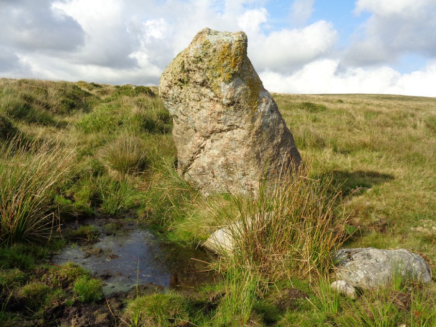
Hanging Stone Standing Stone

Photo taken on 25-08-2017
Database entries
OS Map: SX 58372 63688
OS Source: Google
HER: MDV2423
Megalithic Portal: 45568
The Stone Rows of GB: Lee Moor South
PMD: The Hanging Stone
Alternate name: The Hanging Stone
Short Name: SS Hanging
Butler Vol 5: p.53
DPD page: 59
Exist: Yes
Record: Unique
Record Source: PDW
Hut Class: No
Dimensions (m): 2.2
Lidar: SX 58372 63688
Guide Map: 53
Nearest Bus Stop: Lee Moor Clearview (2.7 km) [Route: 59]
Nearby sites: SX 58372 63688
Notes
Located on Lee Moor. "The 'Hanging Stone' or 'Leaning Rock', 7ft 9ins in length, but because of the stone being 38o out of the vertical, its vertical height is only 6ft 9ins. It measures 3ft 7ins by 1ft 10ins at the base, and is incised on one face with the letters "CB" showing that at one time it was used as a bound-post. It is believed to be prehistoric." TDA Vol. 72 1940 pp. 192-3 (R Hansford Worth). See also, Legendary Dartmoor: The Hanging Stone.References
These are selected references with an emphasis on out of copyright sources linked as PDFs. For more detailed references try any linked HER or PMD record above.
- Butler, Jeremy, Dartmoor Atlas of Antiquities, vol.5: The Second Millennium B.C., (1997)
- Pettit, Paul, Prehistoric Dartmoor, (1974)
- Rowe, Samuel, A Perambulation of Dartmoor (3rd Edition), (1896)
- Worth, R. Hansford, The Dartmoor Menhirs, T.D.A. Vol.72 pp.191-200 (1940)