
Langstone Moor E. Enclosure
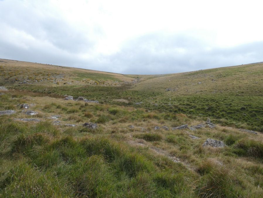
Photo taken on 25-08-2026
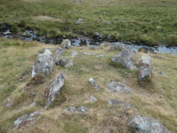
The building photo 25-08-2026
Database entries
OS Map: SX 55899 77734
OS Source: Garmin
HER: MDV46974
Alternate name: Langstone Moor E.
Short Name: EN Langstone E
Butler map: 30.2
Exist: Yes
Record: Unique
Record Source: PDW
Hut Class: No
Lidar: SX 55899 77734
Guide Map: 24
Nearest Bus Stop: Merrivale Dartmoor Inn (3.6 km) [Route: 98,171(20/07/26 to 19/09/26)]
Nearby sites: SX 55899 77734
Notes
HER: Two adjoining enclosures are shown on the English Heritage survey of 2003 as being open to the south-east. The ruined walls are constructed from large blocks of granite. At the point where the two semicircles join is a small rectangular structure around 4.4 metres by 2 metres which may be the remains of a hut or shelter.The first of the two semi-circular enclosures can be seen in the main photo. The building can be seen near the bank with the enclosure curving around to it (LHS background of photo).
References
These are selected references with an emphasis on out of copyright sources linked as PDFs. For more detailed references try any linked HER or PMD record above.
- Butler, Jeremy, Dartmoor Atlas of Antiquities, vol.2: The North, (1991)
- Newman, Phil, The Langstone Moor Stone Circle, Peter Tavy, Devon and its Prehistoric Environs, English Heritage (2003)