
Langstone Moor E. Reported Cist
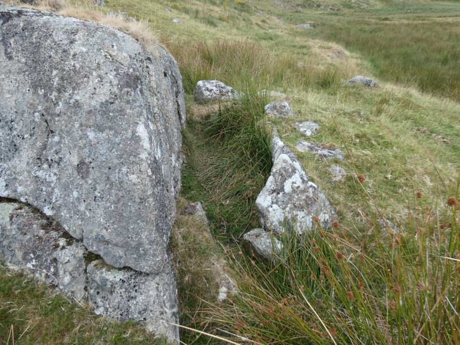
Photo taken on 07-08-2026
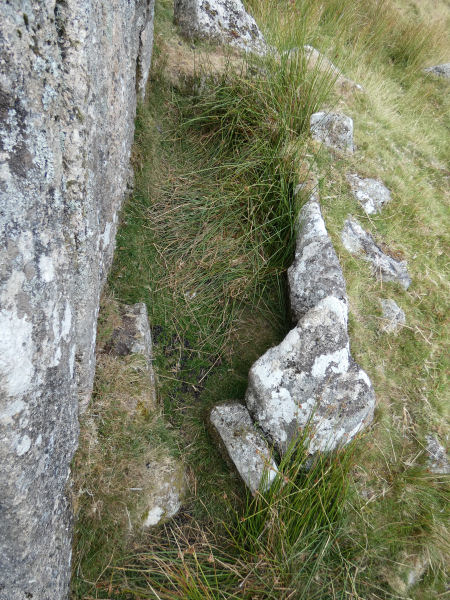
Detail Photo 07/08/2026
Database entries
OS Map: SX 56075 78007
OS Source: Garmin
HER: MDV61771
PMD: Langstone Moor E.
Alternate name: Langstone Moor E.
Short Name: CT?Langstone E
Butler map: 30.2
Butler Vol 5: p.173 & Fig.113
Exist: Yes
Record: Unique
Record Source: Butler
Hut Class: No
Cist Class: Maybe
Cairn Class: Maybe
Lidar: SX 56075 78007
Guide Map: 24
Nearest Bus Stop: Merrivale Dartmoor Inn (4.0 km) [Route: 98,171(20/07/26 to 19/09/26)]
Nearby sites: SX 56075 78007
Notes
HER: Possible cist. Three stones, consisting of two end slabs and one side slab, set against a large natural boulder. Traces of surrounding mound. May be a tinners cache.References
These are selected references with an emphasis on out of copyright sources linked as PDFs. For more detailed references try any linked HER or PMD record above.
- Butler, Jeremy, Dartmoor Atlas of Antiquities, vol.2: The North, (1991)
- Butler, Jeremy, Dartmoor Atlas of Antiquities, vol.5: The Second Millennium B.C., (1997)