
Joan Ford's Newtake N.4 Clearance Cairn
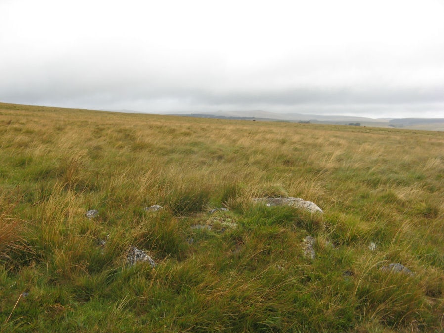
Photo taken on 06-09-2019
Database entries
OS Map: SX 62911 72319
OS Source: Garmin
Butler OS: SX62887231
HER: MDV18390
Alternate name: Joan Ford's Newtake N.4
Short Name: CN JoanFd N4
Butler map: 63.3
Exist: Yes
Record: Unique
Record Source: Butler
Hut Class: No
Cairn Class: Yes
Dimensions (m): 5.0 x 0.5
Lidar: SX 62911 72319
Guide Map: 39
Nearest Bus Stop: Two Bridges Hotel (4.4 km) [Route: 98,171(20/07/26 to 19/09/26)]
Nearby sites: SX 62911 72319
Notes
HER: Small partially turf-covered cairn lies on a slight saddle between two high points in moorland pasture, surrounded by tin pits. It has been built against a large boulder and is composed of small granite and quartz boulders and stones, some very angular in shape. It measures 4.8m N-S by 4.2m E-W and a maximum 0.7m high, its slopes and perimeter are very sharply defined. The trench or slot cut into the top is 2.2m long, 0.55m wide and 0.3m deep. There is no evidence of a kerb or cist. It is doubtfully a prehistoric cairn and may simply be a mound of stone clearance material or more likely a tinners boundary mark.References
These are selected references with an emphasis on out of copyright sources linked as PDFs. For more detailed references try any linked HER or PMD record above.
- Butler, Jeremy, Dartmoor Atlas of Antiquities, vol.4: The South-East, (1993)