
Holne Ridge Stone Row
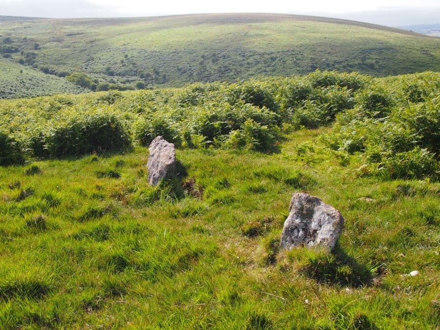
Photo taken on 15-07-2016
Database entries
OS Map: SX 66741 71080
OS Source: SRGB
HER: MDV61453
Megalithic Portal: 27341
The Stone Rows of GB: Holne Ridge
PMD: Holne Ridge Stone Row
Alternate name: Holne Ridge North
Short Name: SR Holne Ridge
Butler map: 60.26
DPD page: 90
Exist: Yes
Record: Unique
Record Source: PDW
Hut Class: No
Dimensions (m): 28
Lidar: SX 66741 71080
Guide Map: 40
Nearest Bus Stop: Postbridge Bellever (8.3 km) [Route: 98]
Nearby sites: SX 66741 71080
Notes
"One or two cairns and a short probably unfinished stone row lie in the north west facing hollow above Horse Ford on the O Brook. The cairn described by Authority 2 lies at the south end of the site with the surviving stones of the stone row to the north. As so few stones survive the exact form and extent of the rows is impossible to determine but there may have been as many as three parallel rows approximately 1.0 metre apart. Overlying or abutting the east row at SX 6672 7109 is a low turf covered mound 3.0 metes in diameter and 0.4 metres high. It is not clear whether this feature forms part of the monument or if it is associated with the shallow turf cuttings to the east."References
These are selected references with an emphasis on out of copyright sources linked as PDFs. For more detailed references try any linked HER or PMD record above.
- Butler, Jeremy, Dartmoor Atlas of Antiquities, vol.4: The South-East, (1993)
- Lethbridge, William D., Discover Preshistoric Dartmoor, (2015)
- Newman, Phil; Probert, S. A. J, Holne Moor, Dartmoor, Devonshire. A Landscape Survey, Royal Commission on the Historical Monuments of England (1997)