
Stalldown Summit 4 Cairn
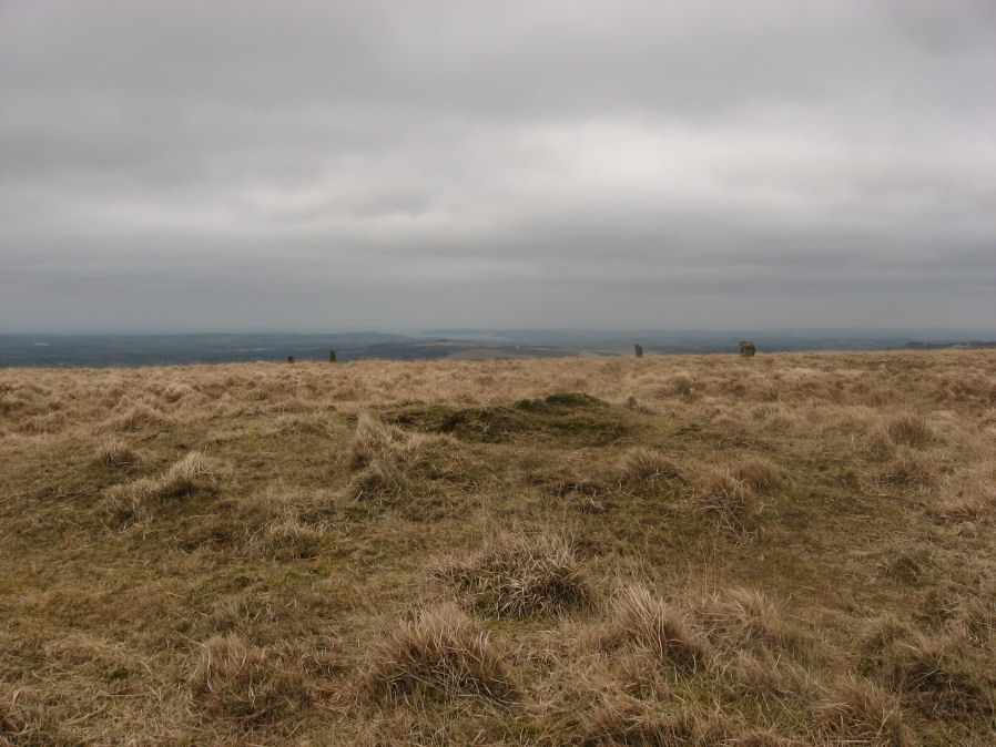
Photo taken on 19-03-2016
Database entries
OS Map: SX 63281 62458
OS Source: Garmin
Butler OS: SX63276245
HER: MDV4299
Alternate name: Stalldown Summit 4
Short Name: CN Staldon 4
Butler map: 54.18.4
Grinsell: CORNWOOD 20
Exist: Yes
Record: Unique
Record Source: Butler
Hut Class: No
Cairn Class: Yes
Dimensions (m): 11.5 x 0.4
Lidar: SX 63281 62458
Guide Map: 56
Nearest Bus Stop: Cornwood Crossways (5.2 km) [Route: 59]
Nearby sites: SX 63281 62458
References
These are selected references with an emphasis on out of copyright sources linked as PDFs. For more detailed references try any linked HER or PMD record above.
- Baring-Gould, Sabine, Fourth Report of the Dartmoor Exploration Committee, T.D.A. Vol.29 pp.145-65 (1897)
- Butler, Jeremy, Dartmoor Atlas of Antiquities, vol.4: The South-East, (1993)
- Grinsell, L.V., Dartmoor Barrows, Devon Archaeological Society Proceedings No.36 (1978)
- Newman, Phil, The Upper Erme Valley Dartmoor National Park Devon An Archaeological Survey, Southwest Landscape Investigations (2018)
- Worth, R. Hansford, The Stone Rows of Dartmoor Part 1, T.D.A. Vol.78 pp.285-316 (1946)