
Ugborough Beacon 5 Cairn
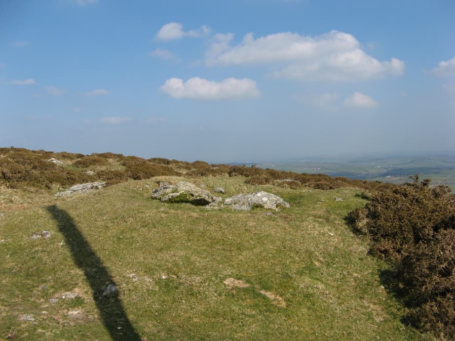
Photo taken on 30-03-2019
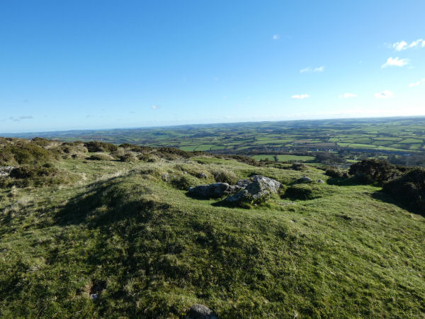
Photo 25-11-2025
Database entries
OS Map: SX 66731 58689
OS Source: Garmin
Butler OS: SX66715868
HER: MDV132364
Alternate name: Ugborough Beacon 5
Short Name: CN Ugborough 5
Butler map: 53.16.7
Exist: Yes
Record: Unique
Record Source: Butler
Hut Class: No
Cairn Class: Yes
Dimensions (m): 9.0 x 1.2
Lidar: SX 66731 58689
Guide Map: 58
Nearest Bus Stop: South Brent Pool Park (4.8 km) [Route: 38]
Nearby sites: SX 66731 58689
Notes
Butler: "Yet another cairn lies 75 m downhill on the edge of one of the numerous stone pits spread over this part of the hillside. Several large slabs lie within the central hollow where the structured interior distinguishes it from the surrounding waste heaps".The shadow cast in the main photo here is of an Anti aircraft landing pole on south side of Ugborough Beacon (MDV132351).
HER quoting Riley: A single wooden pole stands on the southern side of Eastern Beacon close to a prehistoric cairn and in an area of trial pits. This is the only remaining anti-landing pole on Ugborough moor and would have been part of a network of tall poles erected across the area during the Second World War to deter enemy aircraft or gliders from landing.(22/01/2021)
The author visited with Steve Szypko (25/11/2025) and the pole is no longer there.
This record (07/01/2026) has now been matched to MDV132364 - although the grid reference for that HER record is 100 metres to the south.
References
These are selected references with an emphasis on out of copyright sources linked as PDFs. For more detailed references try any linked HER or PMD record above.
- Butler, Jeremy, Dartmoor Atlas of Antiquities, vol.4: The South-East, (1993)
- Crossing, William, Guide to Dartmoor, (2001)