
Higher White Tor Stone Row
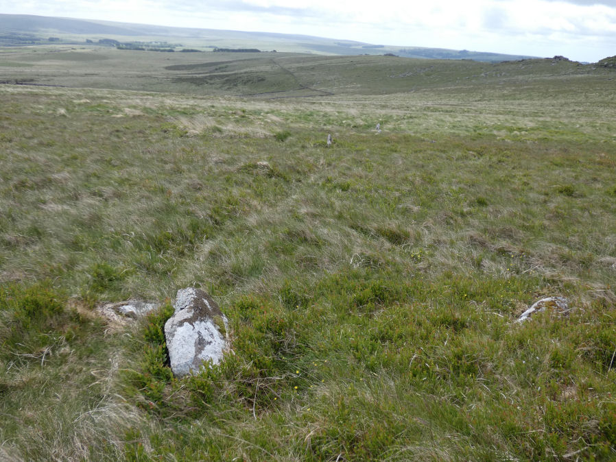
Photo taken on 28-05-2025
Camera low to ground and close to stone in foreground 28/05/2025
Database entries
OS Map: SX 61917 78362
OS Source: SRGB
HER: MDV5834
Megalithic Portal: 2192
The Stone Rows of GB: Higher White Tor
PMD: Higher White Tor Stone Row
Alternate name: Higher White Tor
Short Name: SR HigherWhite
Butler map: 29.16
DPD page: 110
Exist: Yes
Record: Unique
Record Source: PDW
Hut Class: No
Dimensions (m): 95.4
Lidar: SX 61917 78362
Guide Map: 25
Nearest Bus Stop (Minor): Powder Mills (2.6 km) [Route: 171(20/07/26 to 19/09/26)]
Nearest Bus Stop (Major): Postbridge Post Office (2.9 km) [Route: 98,171(20/07/26 to 19/09/26)]
Nearby sites: SX 61917 78362
Notes
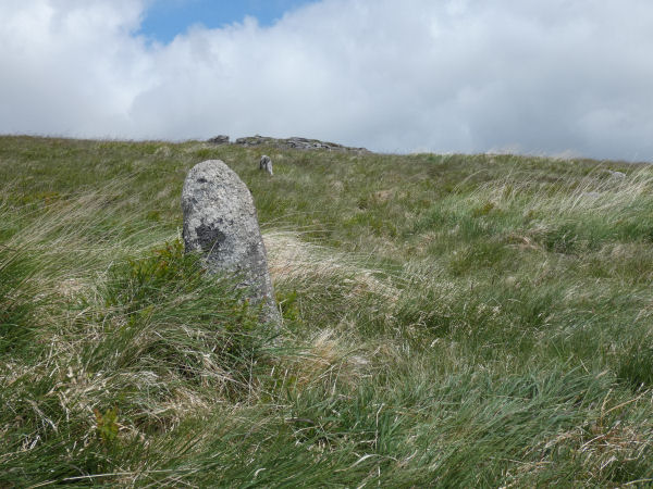
"A Late Neolithic stone alignment on Higher White Tor, surviving as two parallel rows of stones aligned roughly north-south. The alignment is 95.4 metres long and contains twelve upright stones and 24 recumbent ones." Lethbridge diagram and photo p.110. Site visited 28/05/2025 by the author. The main photo above gives a more realistic picture than the more "artistic" second photo.References
These are selected references with an emphasis on out of copyright sources linked as PDFs. For more detailed references try any linked HER or PMD record above.
- Butler, Jeremy, Dartmoor Atlas of Antiquities, vol.2: The North, (1991)
- Emmett, D.D., Stone rows: the traditional view reconsidered, D.A.S.P. No.37 pp.94-114 (1979)
- Lethbridge, William D., Discover Preshistoric Dartmoor, (2015)