
Piles Hill S.W.8 Cairn
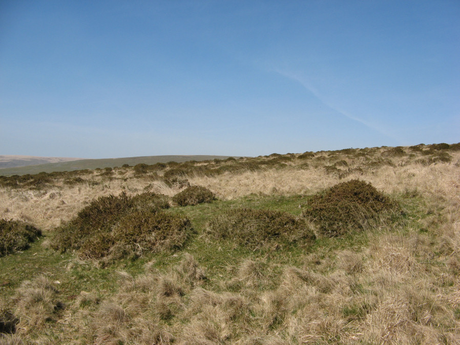
Photo taken on 20-04-2019
Database entries
OS Map: SX 64568 59769
OS Source: Garmin
Butler OS: SX64505969
HER: MDV42373
Alternate name: Piles Hill S.W.8
Short Name: CN PilesSW 8
Butler map: 53.11.8
Exist: Yes
Record: Unique
Record Source: Butler
Hut Class: No
Cairn Class: Yes
Dimensions (m): c.15.0 x 0.4
Lidar: SX 64568 59769
Guide Map: 58
Nearest Bus Stop: Ivybridge BP Garage (Stop B) (4.9 km) [Route: 38]
Nearby sites: SX 64568 59769
Notes
This area has very many patches of gorse that look like they could conceal a mound but could just be vegetation. This makes identifying claimed cairns very difficult. The photo maybe of this cairn. It is very close to what appears to be a mound on Lidar data at SX 64564 59766. Garmin location is SX 64568 59769 which matches well. The HER location is given as SX 64570 59758.References
These are selected references with an emphasis on out of copyright sources linked as PDFs. For more detailed references try any linked HER or PMD record above.
- Butler, Jeremy, Dartmoor Atlas of Antiquities, vol.4: The South-East, (1993)
- Hankin, C. F., An archaeological check-list for Harford, Devon Archaeological Society/DCRA publications no.11 (1982)