
Butterdon Hill W.13-17 Reported Cairn
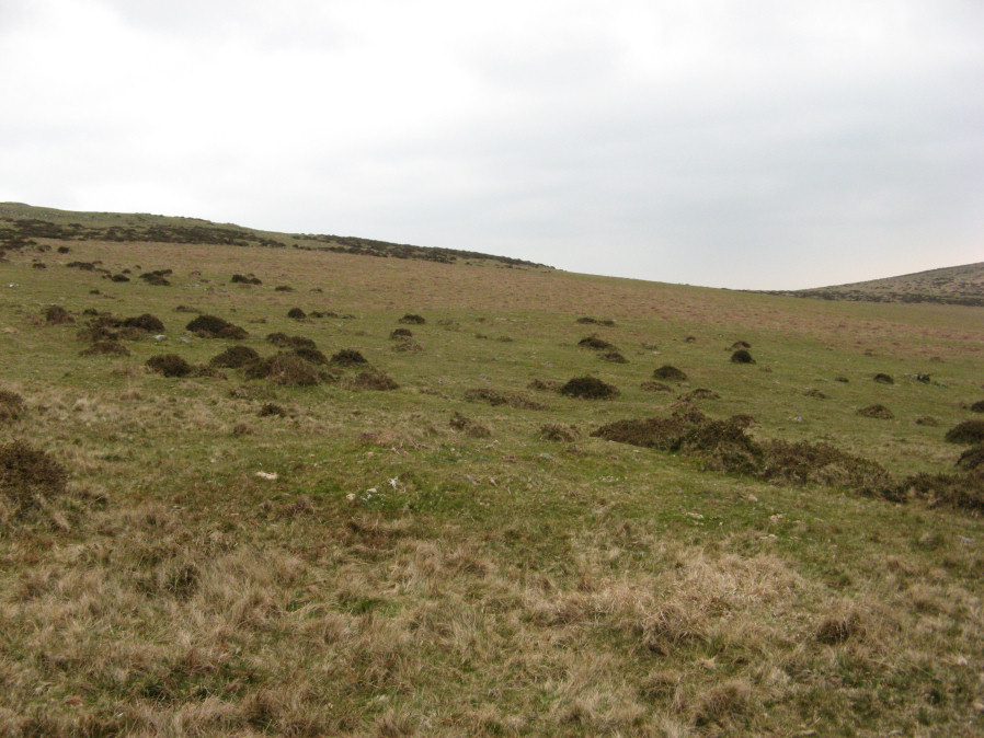
Photo taken on 13-04-2019
Database entries
OS Map: SX 65116 58671
OS Source: Garmin
Butler OS: SX65155865
HER: MDV13164
Alternate name: Butterdon Hill W.13-17
Short Name: CN Butter13-17
Butler map: 53.9.13-17
Exist: Yes
Record: Unique
Record Source: Butler
Hut Class: No
Cairn Class: Yes
Dimensions (m): 3-4.0 x 0.2-0.3
Lidar: SX 65116 58671
Guide Map: 58
Nearest Bus Stop: Ivybridge BP Garage (Stop B) (3.8 km) [Route: 38]
Nearby sites: SX 65116 58671
Notes
This record currently relates to a group of five small cairns listed by Butler Map 9.13-17 (SX65155865). The HER/NMR lists one cairn at SX65125869 "A group of granite stones on a low oval mound of earth and stone, 7m x 4m, direction of length ene-wsw (c.50deg. E. Of true n. ). The lower sw part is a group of stones, max. Ht.1.0m, which have the appearance of being man-placed. The remainder of the site is a low mound standing less than 0.5m high, which merges into the hillside at the higher ne end." This might be the cairn in the photograph - but this requires confirmation. The NGR given by this record relates to the item in the photo.References
These are selected references with an emphasis on out of copyright sources linked as PDFs. For more detailed references try any linked HER or PMD record above.
- Butler, Jeremy, Dartmoor Atlas of Antiquities, vol.4: The South-East, (1993)