
Butterdon Hill N.W.12 Cairn
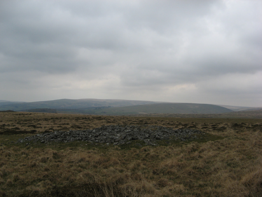
Photo taken on 13-04-2019
Database entries
OS Map: SX 65401 58822
OS Source: Google
Butler OS: SX65395881
HER: MDV3134
Alternate name: Butterdon Hill N.W.12
Short Name: CN Butterdon12
Butler map: 53.9.12
Grinsell: HARFORD 15
Exist: Yes
Record: Unique
Record Source: Butler
Hut Class: No
Cairn Class: Yes
Dimensions (m): 20.0 x 1.6
Lidar: SX 65401 58822
Guide Map: 58
Nearest Bus Stop: Ivybridge BP Garage (Stop B) (4.2 km) [Route: 38]
Nearby sites: SX 65401 58822
Notes
"Mutilated cairn. Diameter 17m, height 1.5m. Siting hillspur ... On the western slope of butterdon hill. A scattered pile of stones, of medium size. Probably many have been removed. The east side of the cairn is quite flattened, this being the higher side of the slope, but the western side, on lower ground, gives the impression of a cairn some 0.6m - 0.9m high. The edge is too scattered to permit the accurate measurement of the diameter. Approx diameter 15m, height 0.6m - 0.9m."References
These are selected references with an emphasis on out of copyright sources linked as PDFs. For more detailed references try any linked HER or PMD record above.
- Butler, Jeremy, Dartmoor Atlas of Antiquities, vol.4: The South-East, (1993)
- Grinsell, L.V., Dartmoor Barrows, Devon Archaeological Society Proceedings No.36 (1978)