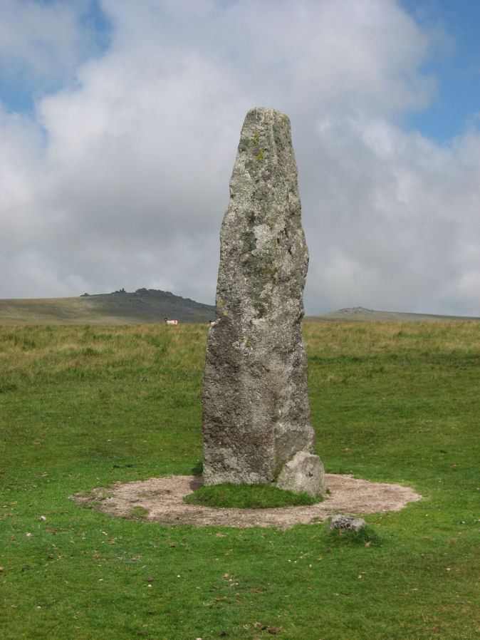
Merrivale Standing Stone

Photo taken on 25-07-2010
Database entries
PDW coverage: Dartmoor Site: Merrivale Ceremonial Complex [Photo Set 2]
OS Map: SX 55359 74599
OS Source: Google
HER: MDV53395
Megalithic Portal: 115
PMD: Merrivale Standing Stone
Alternate name: Merrivale
Short Name: SS Merrivale
Butler map: 44.8.4
DPD page: 17
Exist: Yes
Record: Unique
Record Source: PDW
Hut Class: No
Dimensions (m): 3.2
Lidar: SX 55359 74599
Guide Map: 33
Nearest Bus Stop: Merrivale Dartmoor Inn (1.0 km) [Route: 98,171,172]
Nearby sites: SX 55359 74599
Notes
"Two Bronze Age standing stones with a disturbed cairn and a number of small earth fast stones. Located in open generally clitter-free moorland. Only one of the two stones still stands; it is 3.2 metres high and tapers from the base which is 0.7 by 0.5 metres in section. Whether the stone was once the focus or terminus of a stone rows is uncertain. The second stone is now fallen, it is 2.2 metres long, up to 0.4 metres wide and 0.3 metres thick. An adjacent 0.3 metre deep pit may be its socket hole. "References
These are selected references with an emphasis on out of copyright sources linked as PDFs. For more detailed references try any linked HER or PMD record above.
- Breton, Henry Hugh, The Heart of Dartmoor, (1926)
- Burnard, Robert, Prehistoric Devon (Presidential Address), T.D.A. Vol.43 pp.44-62 (1911)
- Butler, Jeremy, Dartmoor Atlas of Antiquities, vol.3: The South-West, (1994)
- Kempe, Account of some Monuments conjectured to be British, still existing upon Dartmoor, Archaeologia 22 pp.429-35 (1829)
- Lethbridge, William D., Discover Preshistoric Dartmoor, (2015)
- Lowe, H. J., The Dartmoor Antiquities and their Builders, Transactions of the Torquay Natural History Society. 2. 134-135 (1920)
- Worth, R. Hansford, The Dartmoor Menhirs, T.D.A. Vol.72 pp.191-200 (1940)
- Worth, R.N., The Stone Rows of Dartmoor - Part 2, T.D.A. Vol.25 pp.541-546 (1893)