
Upper Spanish Lake 4 Cairn Circle
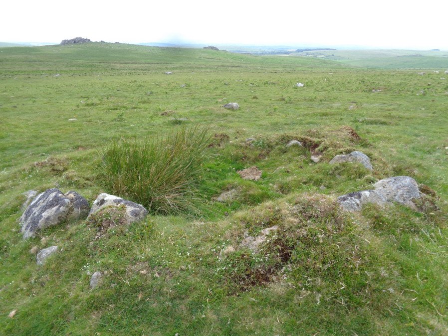
Photo taken on 23-06-2017
Database entries
OS Map: SX 58553 64459
OS Source: Garmin
Butler OS: SX58576446
HER: MDV42010
Alternate name: Upper Spanish Lake 4
Short Name: CN U Spanish 4
Butler map: 51.5.4
Grinsell: SHAUGH PRIOR 32
Exist: Yes
Record: Unique
Record Source: Butler
Hut Class: No
Cairn Class: Yes
Barrow Report: 63
Dimensions (m): 5.5 x 0.4
Lidar: SX 58553 64459
Guide Map: 53
Nearest Bus Stop: Lee Moor Clearview (3.8 km) [Route: 59]
Nearby sites: SX 58553 64459
Notes
A hollowed-out cairn measuring 6.5m N to S by 6.4m and 0.9m high. There are no traces of a cist though some protruding stones on the E side may indicate the presence of a former kerb. A stone-lined hollow 2.5m in diameter and 0.6m deep lies in the centre of the mound and probably represents its reuse as a military training feature.References
These are selected references with an emphasis on out of copyright sources linked as PDFs. For more detailed references try any linked HER or PMD record above.
- Butler, Jeremy, Dartmoor Atlas of Antiquities, vol.3: The South-West, (1994)
- Grinsell, L.V., Dartmoor Barrows, Devon Archaeological Society Proceedings No.36 (1978)
- Worth, R. Hansford, Barrow Report 63, T.D.A. Vol.76 pp.39-40 (1944)