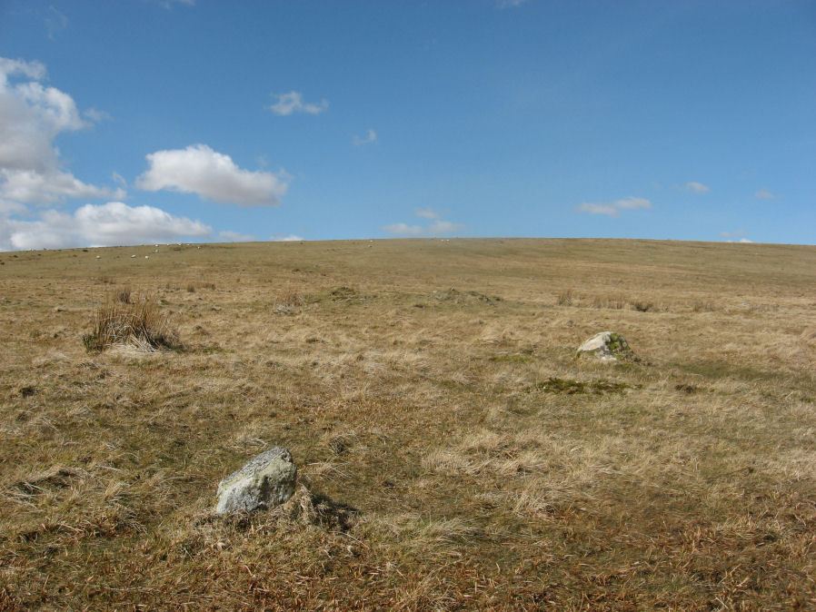
Black Tor (Avon) Stone Row

Photo taken on 25-03-2016
Database entries
OS Map: SX 67730 63494
OS Source: SRGB
HER: MDV28589
Megalithic Portal: 1772
The Stone Rows of GB: Black Tor Avon Stone Row
PMD: Black Tor Avon Stone Row
Alternate name: Black Tor (Avon)
Short Name: SR BlackTor 1
Butler map: 57.25
DPD page: 85
Exist: Yes
Record: Unique
Record Source: PDW
Hut Class: No
Dimensions (m): 56
Lidar: SX 67730 63494
Guide Map: 52
Nearest Bus Stop: South Brent Pool Park (5.6 km) [Route: 38]
Nearby sites: SX 67730 63494
Notes
"A stone row running north west - south east seen on the plateau west of Black Tor". The stones are very hidden and difficult to see. The row is headed at the NW end by two small cairns. Lethbridge suggests remains of cist in one of them, diagram p.85. See also HER 5752, SX 66 SE 89 and SX 66 SE 33. NB. There is also a possible second row about 200 metres away SiteID=1320References
These are selected references with an emphasis on out of copyright sources linked as PDFs. For more detailed references try any linked HER or PMD record above.
- Beckerlegge, J. J., Second Report of the Plymouth and District Branch, T.D.A. Vol.65 p.186 (1933)
- Butler, Jeremy, Dartmoor Atlas of Antiquities, vol.4: The South-East, (1993)
- Lethbridge, William D., Discover Preshistoric Dartmoor, (2015)
- Worth, R. Hansford, The Stone Rows of Dartmoor Part 1, T.D.A. Vol.78 pp.285-316 (1946)
- Worth, R. Hansford, The Stone Rows of Dartmoor Part 2, T.D.A. Vol.79 pp.175-186 (1947)