
Drizzlecombe 19 Reported Cairn
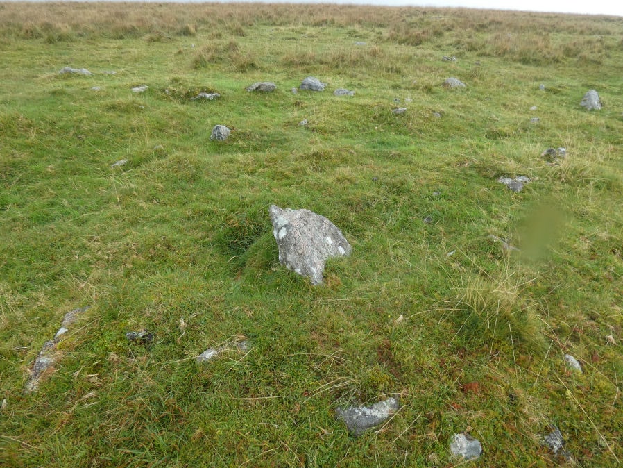
Photo taken on 22-09-2024
Database entries
OS Map: SX 59557 67280
OS Source: Garmin
Butler OS: SX59566728
HER: MDV126615
Alternate name: Drizzlecombe 19
Short Name: CN?Drizzle 19
Butler map: 49.19.19
Exist: Yes
Record: Unique
Record Source: Butler
Hut Class: No
Cairn Class: Maybe
Dimensions (m): 6.3 x 0.2
Lidar: SX 59557 67280
Guide Map: 48
Nearest Bus Stop: Meavy Primary School (6.6 km) [Route: 56]
Nearby sites: SX 59557 67280
Notes
Butler: Identity of this "structure is uncertain, a circular stony bank surounding a slightly raised but uneven interior .. it also is likely tobe a badly damaged burial mound"The author took this photo on 22/09/2024. Is it remains of a round house? There are none listed on the HER directly at this location and there are also no cairns listed here. Butler does list a cairn near to this grid reference so maybe this is the feature that Butler observed.
References
These are selected references with an emphasis on out of copyright sources linked as PDFs. For more detailed references try any linked HER or PMD record above.
- Butler, Jeremy, Dartmoor Atlas of Antiquities, vol.3: The South-West, (1994)