
Leeden Tor S.E. Reported Cairn
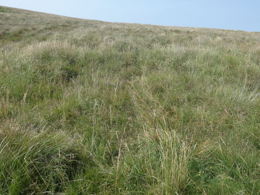
Photo taken on 15-08-2025
Database entries
OS Map: SX 56514 71479
OS Source: Garmin
Butler OS: SX56507146
HER: MDV57040
Alternate name: Leeden Tor S.E.
Short Name: CNxLeeden SE
Butler map: 45.15
Exist: Yes
Record: Unique
Record Source: Butler
Hut Class: No
Dimensions (m): 7.0 x 0.2
Lidar: SX 56514 71479
Guide Map: 38
Nearest Bus Stop: Princetown Dartmoor Visitor Centre (4.2 km) [Route: 98,171(20/07/26 to 19/09/26)]
Nearby sites: SX 56514 71479
Notes
Butler lists as cairn but it is probably a gun emplacement. HER: Cairn, hut circle or gun emplacement to south-east of Leeden Tor at the west end of the stone row. Possible cairn of 7.0 metres diameter by 0.2 metres high originally identified in 1980 as a probable hut circle. When surveyed in 2007 this was changed to military gun emplacement. It comprises a circular flat area that is mostly enclosed by a low stony bank up to 0.6 metres high on the uphill side.The author visited this feature on 15/08/2025 with Steve Szypko. The stone row cairn and this feature are difficult to find. Following the stone row up and then heading a little west the circular depression for this feature can be found. This in turn helps to find the nearby stone row cairn. This feature looks more like a gun emplacement.
References
These are selected references with an emphasis on out of copyright sources linked as PDFs. For more detailed references try any linked HER or PMD record above.
- Butler, Jeremy, Dartmoor Atlas of Antiquities, vol.3: The South-West, (1994)