
Leeden Tor S.1 Cairn
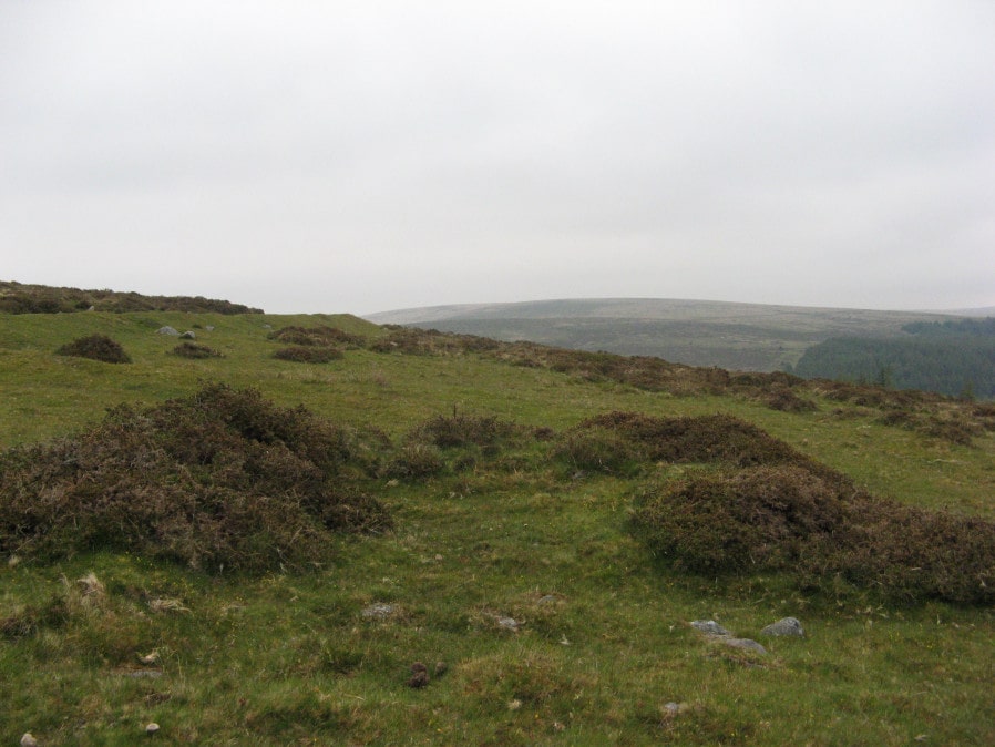
Photo taken on 17-05-2019
Database entries
OS Map: SX 56327 70903
OS Source: Garmin
Butler OS: SX56327089
HER: MDV19965
Alternate name: Leeden Tor S.1
Short Name: CN LeedenTor 1
Butler map: 45.13.1
Exist: Yes
Record: Unique
Record Source: Butler
Hut Class: No
Cairn Class: Yes
Dimensions (m): 7.0 x 0.4
Lidar: SX 56327 70903
Guide Map: 38
Nearest Bus Stop: Dousland Merrivale View Road (4.3 km) [Route: 55,56]
Nearby sites: SX 56327 70903
Notes
HER: Cairn with a diameter of 7.5m. and is 0.6m. high on the south-east side and 0.3m. high on the north-west. The mound is turf covered with no particular features save a large excavation in the top and the south-west quadrant (road-menders?) which has exposed its stone content. Surveyed 1980 and 2007.References
These are selected references with an emphasis on out of copyright sources linked as PDFs. For more detailed references try any linked HER or PMD record above.
- Butler, Jeremy, Dartmoor Atlas of Antiquities, vol.3: The South-West, (1994)