
Shoveldown 1 Stone Row
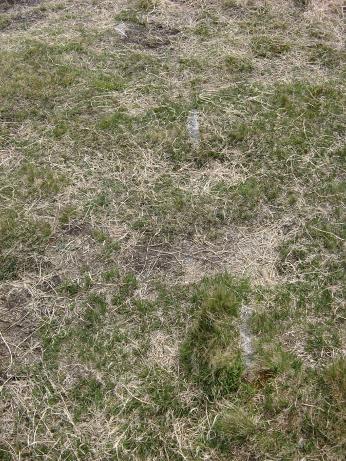
Photo taken on 16-05-2019
Database entries
PDW coverage: Dartmoor Site: Shovel Down Ceremonial Complex
OS Map: SX 66049 85707
OS Source: SRGB
HER: MDV6181
Megalithic Portal: 2128
The Stone Rows of GB: Shoveldown 1
PMD: Shovel Down H-K Stone Row
Alternate name: Shoveldown 1
Short Name: SR ShovelRow 1
Butler map: 36.7.1
DPD page: 139
Exist: Yes
Record: Unique
Record Source: PDW
Hut Class: No
Dimensions (m): 540
Lidar: SX 66049 85707
Guide Map: 13
Nearest Bus Stop (Minor): Wonson Telephone Box (5.3 km) [Route: 670]
Nearest Bus Stop (Major): Chagford The Square (4.4 km) [Route: 173,178,671]
Nearby sites: SX 66049 85707
Notes
Worth Row G, Butler Row 1. This row is considered to be one long partially robbed row. Previously listed here as Shoveldown D-G-H-J now Shoveldown 1 after Butler and Gerrard."D: SX 66028583 to SX 66048568. A single row (47 stones visible July '78) 149.0m long, with no terminal features; it curves slightly to the south west Worth (2) extends it as a reave for a further 50.0m to the north but this extension is straight, on a different alignment, and almost certainly a separate row (see G)."
"G: SX 66008591 to SX 66028585. A single row (25 stones visible July '78), 60.0m long; two gaps (? stone robbing) of 6.0m & 8.0m occur towards the north end. The north penultimate stone (now recumbent) is of much larger slab-like proportions and may have originally served as a blocking-stone."
"H: SX 65998599 to SX 65998595. A single row (24 stones visible July '78), 51.0m long with three gaps of from 5.0m to 8.0m recorded by Pettit (3), but not Worth (2)."
"J: SX 65978625 to SX 65988603. A single row (46 stones visible July '78), 228.0m long, there are no special terminal features. Many gaps of from 3.0m to 47.0m occur throughout the entire length of the row. The southern end has probably been overlain by a later reave (SX 68 NE 63). The northern end most probably extended further northward, and it would appear to have been destroyed by a mining 'rake' of circa 19th century date, and stone robbing? for the nearby Batworthy enclosure walls."
Lethbridge 139-145, diagram p.139. The photo is taken at SX 66034 85844.
See also entries for Row D, Row H and Row J which are considered part of the same row.
References
These are selected references with an emphasis on out of copyright sources linked as PDFs. For more detailed references try any linked HER or PMD record above.
- Baring-Gould, Sabine, A Book of Dartmoor, (2002)
- Bate, C Spence, On the Prehistoric Antiquities of Dartmoor, T.D.A. Vol.4 pp.491-516 (1871)
- Butler, Jeremy, Dartmoor Atlas of Antiquities, vol.2: The North, (1991)
- Croker, J. G., A guide to the eastern escarpment of Dartmoor, (1851)
- Emmett, D.D., Stone rows: the traditional view reconsidered, D.A.S.P. No.37 pp.94-114 (1979)
- Fox, Aileen, Cairns and stone alignments on Shovel Down, Archaeological Journal Vol 114. pp.155-158 (1957)
- Lethbridge, William D., Discover Preshistoric Dartmoor, (2015)
- Ormerod, George Wareing, On some British and druidical remains in the parishes of Chagford and Gidleigh, T.P.I. Vol.1 pp. 20-4 (1858)
- Ormerod, George Wareing, Archaeological memoirs relating to the East of Dartmoor, (1876)
- Page, John Lloyd Warden, An Exploration of Dartmoor and its Antiquities, with some account of its borders, (1889)
- Rowe, Samuel, A Perambulation of Dartmoor (1st Edition), (1848)
- Wilkinson J. Gardner, The Rock-basins of Dartmoor, and some British Remains in England, Journal Brit. Arch. Assoc. xvi. pp.101-132. (1860)
- Worth, R. Hansford, The Prehistoric Monuments of Scorhill, Buttern Hill, and Shuggledown (Shoveldown), T.D.A. Vol.64 pp.280-287 (1932)
- Worth, R. Hansford, The Stone Rows of Dartmoor Part 1, T.D.A. Vol.78 pp.285-316 (1946)