
Foot of Giant's Basin (a) Cairn
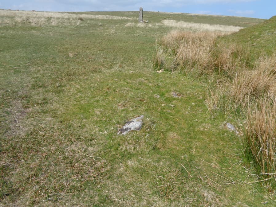
Photo taken on 19-05-2018
Database entries
OS Map: SX 59188 66945
OS Source: Garmin
HER: MDV55251
Alternate name: Foot of Giant's Basin (a)
Short Name: CN FootGB 1
Butler map: 49.19.7-9a
Grinsell: SHEEPSTOR 33a
Exist: Yes
Record: Unique
Record Source: Grinsell
Hut Class: No
Cairn Class: Yes
Dimensions (m): 2.4 x 0.2
Lidar: SX 59188 66945
Guide Map: 48
Nearest Bus Stop: Meavy Primary School (6.2 km) [Route: 56]
Nearby sites: SX 59188 66945
Notes
1 of 3 small cairns at the foot of Giant's Basin.References
These are selected references with an emphasis on out of copyright sources linked as PDFs. For more detailed references try any linked HER or PMD record above.
- Butler, Jeremy, Dartmoor Atlas of Antiquities, vol.3: The South-West, (1994)
- Grinsell, L.V., Dartmoor Barrows, Devon Archaeological Society Proceedings No.36 (1978)