
Sharpitor N.W. 2 Stone Row
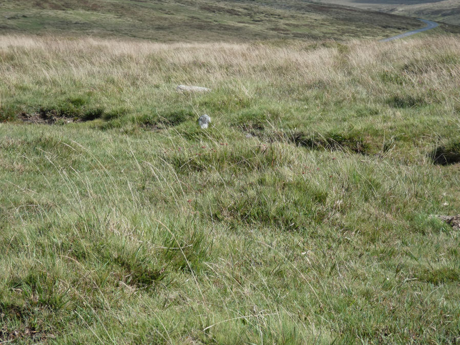
Photo taken on 06-09-2025
Database entries
PDW coverage: Dartmoor Walk: Sharpitor area Stone Rows and Cists
OS Map: SX 55687 70600
OS Source: SRGB
HER: MDV3761
Megalithic Portal: 2119
The Stone Rows of GB: Sharpitor North West 2
PMD: Sharpitor Summit S Stone Row
Alternate name: Sharpitor NW 2
Short Name: SR Sharp NW2
Butler map: 45.12.2
DPD page: 21
Exist: Yes
Record: Unique
Record Source: PDW
Hut Class: No
Dimensions (m): 133
Lidar: SX 55687 70600
Guide Map: 38
Nearest Bus Stop: Walkhampton Memorial (3.2 km) [Route: 55,56]
Nearby sites: SX 55687 70600
Notes
"A BA single stone row oriented NE - SW at a very slight angle to the north-east end of the adjacent double stone row. The large scale survey dated 1980 shows a total of thirty stones whilst in 1994 it was reported that only about 10 stones can be identified with certainty and half of these are either buried or just showing.""The row is partially obscured by moorland grass and the area is heavily disturbed by grazing animals and walkers tracks. The extent of the row is unclear and there is no ground evidence of an associated cairn or a blocking stone. Heavy wear and tear of the fragile peat cover has caused many natural moorland stones to be exposed on the line of the row". Lethbridge pp.20-22. See also: Sea Views at Sharpitor NW 2 Breton p.27 The stone row, which starts from a cairn, passes through the south end of the pond, and terminates some distance below in a small circle of seven stones. About 320 yds due east of the circle, and only 40 yds. from the road, is another stone row which has been mutilated. It is only about 30 yds long and starts from a ruined circle.
References
These are selected references with an emphasis on out of copyright sources linked as PDFs. For more detailed references try any linked HER or PMD record above.
- Breton, Henry Hugh, The Heart of Dartmoor, (1926)
- Butler, Jeremy, Dartmoor Atlas of Antiquities, vol.3: The South-West, (1994)
- Emmett, D.D., Stone rows: the traditional view reconsidered, D.A.S.P. No.37 pp.94-114 (1979)
- Lethbridge, William D., Discover Preshistoric Dartmoor, (2015)
- Newman, Phil, An Archaeological Survey of an area of Walkhampton Common, Dartmoor National Park, Devon, Southwest Landscape Investigations (2019)
- Worth, R. Hansford, The Stone Rows of Dartmoor Part 1, T.D.A. Vol.78 pp.285-316 (1946)
- Worth, R.N., The Stone Rows of Dartmoor - Part 3, T.D.A. Vol.26 pp.296-307 (1894)