
White Tor N.W.1 Cairn
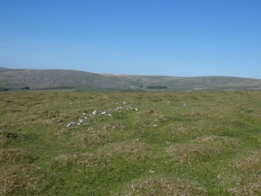
Photo taken on 27-05-2022
Database entries
OS Map: SX 53725 79009
OS Source: Google
Butler OS: SX53727900
HER: MDV4139
Alternate name: White Tor N.W.1
Short Name: CN White NW1
Butler map: 31.23.1
Grinsell: PETER TAVY 20
Exist: Yes
Record: Unique
Record Source: Butler
Hut Class: No
Cairn Class: Yes
Dimensions (m): 9.0 x 0.3
Lidar: SX 53725 79009
Guide Map: 24
Nearest Bus Stop: Mary Tavy War Memorial (4.5 km) [Route: 118]
Nearby sites: SX 53725 79009
Notes
"An oval, flat-topped cairn set on a gently sloping natural plateau of rough grassland with panoramic views in most directions. It is constructed of consolidated small stones and is now predominantly turf-covered. It measures 9m E-W by 8m transversely and is 0.7m high on the N (downhill) side and 0.3m on the S (uphill) side. Only two contiguous earthfast stones of the probable kerb are now evident on the N side. The excavation trench which lies E-W centrally across the cairn is about 1m wide; a second, faint trench is visible at right angles"References
These are selected references with an emphasis on out of copyright sources linked as PDFs. For more detailed references try any linked HER or PMD record above.
- Baring-Gould, Sabine, Sixth Report of the Dartmoor Exploration Committee, T.D.A. Vol.31 pp.146-155 (1899)
- Butler, Jeremy, Dartmoor Atlas of Antiquities, vol.2: The North, (1991)
- Grinsell, L.V., Dartmoor Barrows, Devon Archaeological Society Proceedings No.36 (1978)