
White Tor S.S.E.2 Cairn
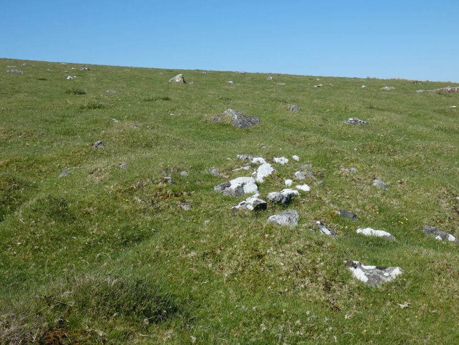
Photo taken on 27-05-2022
Database entries
OS Map: SX 54356 78359
OS Source: Google
Butler OS: SX54357834
HER: MDV4181
Alternate name: White Tor S.S.E.2
Short Name: CN White SSE2
Butler map: 31.20.2
Grinsell: PETER TAVY 32
Exist: Yes
Record: Unique
Record Source: Butler
Hut Class: No
Cairn Class: Yes
Dimensions (m): 4.8 x 0.4
Lidar: SX 54356 78359
Guide Map: 24
Nearest Bus Stop: Merrivale Dartmoor Inn (4.2 km) [Route: 98,171(20/07/26 to 19/09/26)]
Nearby sites: SX 54356 78359
Notes
HER Southernmost cairn of a group of three partially excavated by the Dartmoor Exploration Committee in 1899. This cairn measures 4.7 metres in diameter and is 0.5 metres high. Has a central hollow indicating the location of the earlier partial excavation. Forms part of a widely dispersed group of at least fourteen cairns on the southern and eastern slopes of White Tor.References
These are selected references with an emphasis on out of copyright sources linked as PDFs. For more detailed references try any linked HER or PMD record above.
- Baring-Gould, Sabine, Sixth Report of the Dartmoor Exploration Committee, T.D.A. Vol.31 pp.146-155 (1899)
- Butler, Jeremy, Dartmoor Atlas of Antiquities, vol.2: The North, (1991)
- Grinsell, L.V., Dartmoor Barrows, Devon Archaeological Society Proceedings No.36 (1978)
- Newman, Phil, The Langstone Moor Stone Circle, Peter Tavy, Devon and its Prehistoric Environs, English Heritage (2003)