
White Tor S.S.E.1 Cairn
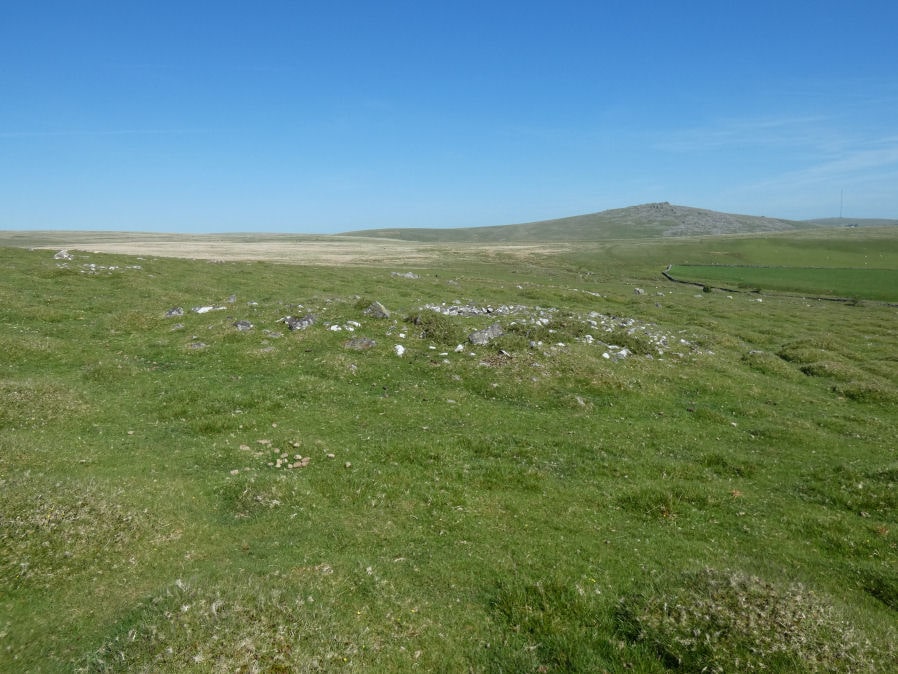
Photo taken on 27-05-2022
Database entries
OS Map: SX 54339 78370
OS Source: Google
Butler OS: SX54347836
HER: MDV4182
Alternate name: White Tor S.S.E.1
Short Name: CN White SSE1
Butler map: 31.20.1
Grinsell: PETER TAVY 30
Exist: Yes
Record: Unique
Record Source: Butler
Hut Class: No
Cairn Class: Yes
Dimensions (m): 10.5 x 0.5
Lidar: SX 54339 78370
Guide Map: 24
Nearest Bus Stop: Merrivale Dartmoor Inn (4.2 km) [Route: 98,171(20/07/26 to 19/09/26)]
Nearby sites: SX 54339 78370
Notes
HER: The westernmost cairn of a group of three set close together. Mound measures 11.9 metres in diameter and stands up to 0.9 metres high. A stone kerb composed of small boulders defines the outer edge of the mound. A hollow in the centre of the mound and a trench cut into the western side are probably the result of the nineteenth-century partial excavation.References
These are selected references with an emphasis on out of copyright sources linked as PDFs. For more detailed references try any linked HER or PMD record above.
- Baring-Gould, Sabine, Sixth Report of the Dartmoor Exploration Committee, T.D.A. Vol.31 pp.146-155 (1899)
- Baring-Gould, Sabine, Tenth Report of the Dartmoor Exploration Committee, T.D.A. Vol.37 pp.141-145 (1905)
- Butler, Jeremy, Dartmoor Atlas of Antiquities, vol.2: The North, (1991)
- Grinsell, L.V., Dartmoor Barrows, Devon Archaeological Society Proceedings No.36 (1978)
- Newman, Phil, The Langstone Moor Stone Circle, Peter Tavy, Devon and its Prehistoric Environs, English Heritage (2003)