
Drizzlecombe N.W. Stone Row
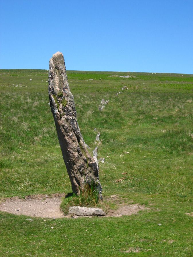
Photo taken on 17-06-2010
Database entries
PDW coverage: Dartmoor Site: Drizzlecombe Ceremonial Complex (Photos 1)
OS Map: SX 59243 67071
OS Source: SRGB
HER: MDV3376
Megalithic Portal: 1904
The Stone Rows of GB: Drizzlecombe 3
PMD: Drizzlecombe B Stone Row
Alternate name: Drizzlecombe 3
Short Name: SR Drizzle NW
Butler map: 49.19.3
DPD page: 40
Exist: Yes
Record: Unique
Record Source: PDW
Hut Class: No
Dimensions (m): 149.
Lidar: SX 59243 67071
Guide Map: 48
Nearest Bus Stop: Meavy Primary School (6.2 km) [Route: 56]
Nearby sites: SX 59243 67071
Notes
Butler Row 3, NMR Row 1, Worth Row B. The NW and S terminal stones have their broad face parallel to the row. The NW row is single for half of its 149.5m length uphill then double for 47m before becoming single again for the last 28m to the cairn. This arrangement appears to be the original design. The other two stone rows are single throughout. The S row is exactly the same length as the NW row but with smaller stones. The average interval between the stones is almost identical and the orientation of the row is such that it gently curves southwards downhill bringing the lower part of the row parallel to the S row. This shift of 7 degrees in alignment of the NW row from top to bottom to line up with the S row would suggest it was constructed later to match the S row. The height of the terminating stones for S and NW rows are 3m and 2.3m respectively.Lethbridge Row C. pp.38-42. Diagram p.38. See also: Sea Views at Drizzlecombe 3
References
These are selected references with an emphasis on out of copyright sources linked as PDFs. For more detailed references try any linked HER or PMD record above.
- Baring-Gould, Sabine, A Book of Dartmoor, (2002)
- Butler, Jeremy, Dartmoor Atlas of Antiquities, vol.3: The South-West, (1994)
- Butler, Jeremy, Dartmoor Atlas of Antiquities, vol.5: The Second Millennium B.C., (1997)
- Emmett, D.D., Stone rows: the traditional view reconsidered, D.A.S.P. No.37 pp.94-114 (1979)
- Gerrard, Sandy, English Heritage Book of Dartmoor: Landscapes Through Time, (1997)
- Lethbridge, William D., Discover Preshistoric Dartmoor, (2015)
- Ormerod, George Wareing, Letter: Drewsteignton Cromlech, Notes and Queries Vol.2 3rd S.(30) p.70 (1862)
- Worth, R. Hansford, The Moorland Plym, T.P.I. Vol.10 Part 3 p.294 (1890)
- Worth, R. Hansford, The Dartmoor Menhirs, T.D.A. Vol.72 pp.191-200 (1940)
- Worth, R. Hansford, The Stone Rows of Dartmoor Part 1, T.D.A. Vol.78 pp.285-316 (1946)
- Worth, R.N., Barrow Report 12, T.D.A. Vol.22 pp.49-52 (1890)
- Worth, R.N., The Stone Rows of Dartmoor - Part 1, T.D.A. Vol.24 pp.387-417 (1892)
- Worth, R.N., The Stone Rows of Dartmoor - Part 2, T.D.A. Vol.25 pp.541-546 (1893)