
Rowtor Brook 2 Cairn
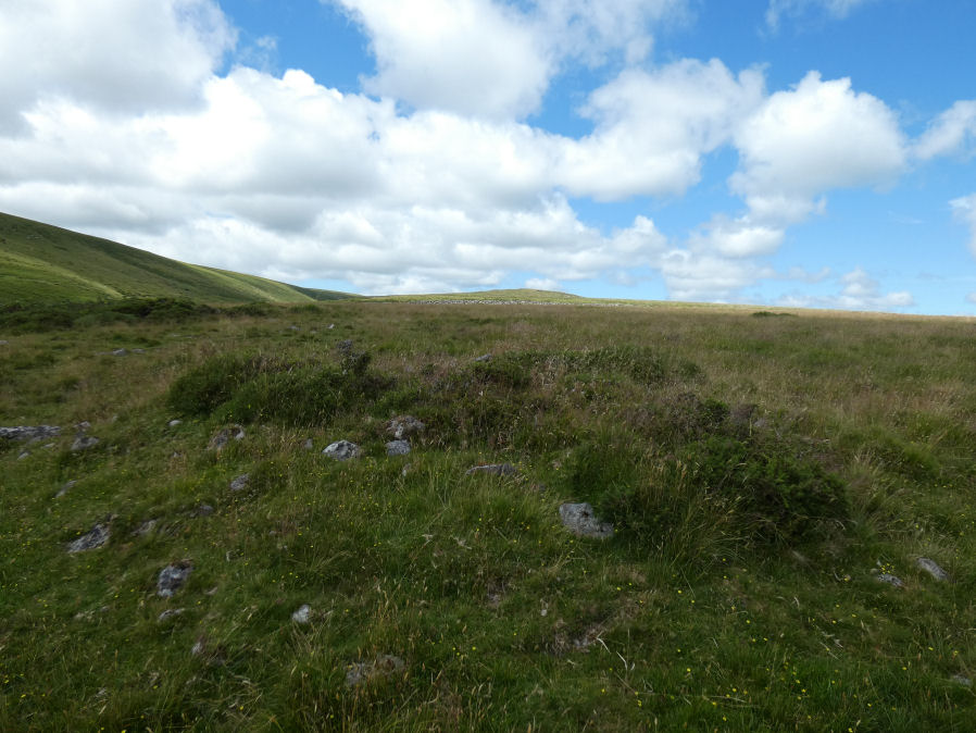
Photo taken on 09-07-2025
Database entries
OS Map: SX 62702 78664
OS Source: Google
Butler OS: SX62707866
HER: MDV5836
Alternate name: Rowtor Brook 2
Short Name: CN RowtorBr 2
Butler map: 27.17.2
Grinsell: LYDFORD 43
Exist: Yes
Record: Unique
Record Source: Butler
Hut Class: No
Cairn Class: Yes
Dimensions (m): 8.5 x 1.0
Lidar: SX 62702 78664
Guide Map: 28
Nearest Bus Stop: Postbridge Post Office (2.7 km) [Route: 98,171(20/07/26 to 19/09/26)]
Nearby sites: SX 62702 78664
Notes
HER: The western of a pair of cairns. Composed of medium-size stones, measuring 9.6 metres east to west and 8.2 metres north to south and standing 0.8 metres high. Has a central depression 3.0 metres, 0.3 metres deep; spoil from it has produced a slight widening of the eastern arc, with two piles of removed stones adjacent.References
These are selected references with an emphasis on out of copyright sources linked as PDFs. For more detailed references try any linked HER or PMD record above.
- Baring-Gould, Sabine, Seventh Report of the Dartmoor Exploration Committee, T.D.A. Vol.33 pp.130-138 (1901)
- Burnard, Robert, Notes on Dartmoor Kistvaens, T.D.A. Vol.22 pp.200-207 (1890)
- Butler, Jeremy, Dartmoor Atlas of Antiquities, vol.2: The North, (1991)
- Grinsell, L.V., Dartmoor Barrows, Devon Archaeological Society Proceedings No.36 (1978)
- Prowse, Arthur B., The Ancient Metropolis of Dartmoor, T.D.A. Vol.23 pp.307-14 (1891)