
Water Hill 2 Reported Cairn
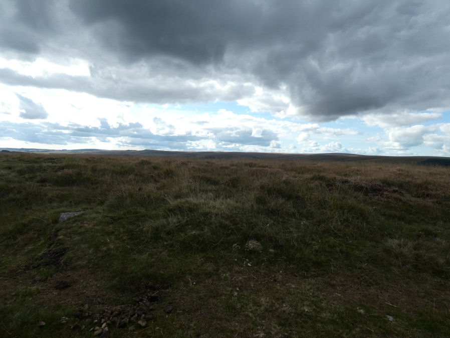
Photo taken on 24-09-2025
Database entries
OS Map: SX 67155 81314
OS Source: Garmin
Butler OS: SX67158129
HER: MDV6675
Alternate name: Water Hill 2
Short Name: CN?WaterHill 2
Butler map: 26.5.2
Exist: Yes
Record: Unique
Record Source: Butler
Hut Class: No
Cairn Class: Maybe
Dimensions (m): 5.0 x 0.3
Lidar: SX 67155 81314
Guide Map: 27
Nearest Bus Stop (Minor): Warren House Inn (0.7 km) [Route: 171(20/07/26 to 19/09/26)]
Nearest Bus Stop (Major): Postbridge Post Office (3.4 km) [Route: 98,171(20/07/26 to 19/09/26)]
Nearby sites: SX 67155 81314
Notes
Doubtful "a heather covered mound slightly to the n of the large cairn on the summit of water hill. It measures 5.1m in diam and up to 0.6m high with one recumbent granite boulder visible on its s side. It is apparently composed of earth and stone". This record formerly linked to MDV54619 which has presumably been deleted as a duplicate.Visited by author on a few occasions and not recorded due to doubt about identification. The raised area in the photo is the only possible candidate for Butler's satellite cairn.
References
These are selected references with an emphasis on out of copyright sources linked as PDFs. For more detailed references try any linked HER or PMD record above.
- Butler, Jeremy, Dartmoor Atlas of Antiquities, vol.2: The North, (1991)