
Hamel Down S.E.1 Cairn
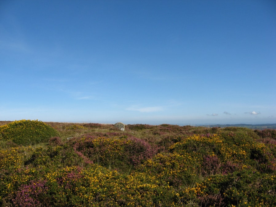
Photo taken on 14-09-2019
Database entries
OS Map: SX 71455 78665
OS Source: Google
Butler OS: SX71457866
HER: MDV7520
Alternate name: Hamel Down S.E.1
Short Name: CN Hamel SE1
Butler map: 20.14.1
Grinsell: WIDECOMBE IN THE MOOR 8
Exist: Yes
Record: Unique
Record Source: Butler
Hut Class: No
Cairn Class: Yes
Dimensions (m): 14.5 x 0.8
Lidar: SX 71455 78665
Guide Map: 29
Nearest Bus Stop (Minor): Widecombe in the Moor Car Park (2.5 km) [Route: 271]
Nearest Bus Stop (Major): Warren House Inn (4.6 km) [Route: 171]
Nearby sites: SX 71455 78665
Notes
NMR A. "Heather and gorse covered cairn. Mutilation in top and south face shows a construction of stones. No trace of ditch. On top of the mound is a modern boundary stone inscribed 'DS 1854 Old House'".References
These are selected references with an emphasis on out of copyright sources linked as PDFs. For more detailed references try any linked HER or PMD record above.
- Butler, Jeremy, Dartmoor Atlas of Antiquities, vol.1: The East, (1991)
- Grinsell, L.V., Dartmoor Barrows, Devon Archaeological Society Proceedings No.36 (1978)