
Brown Heath (Hook Lake) Stone Row
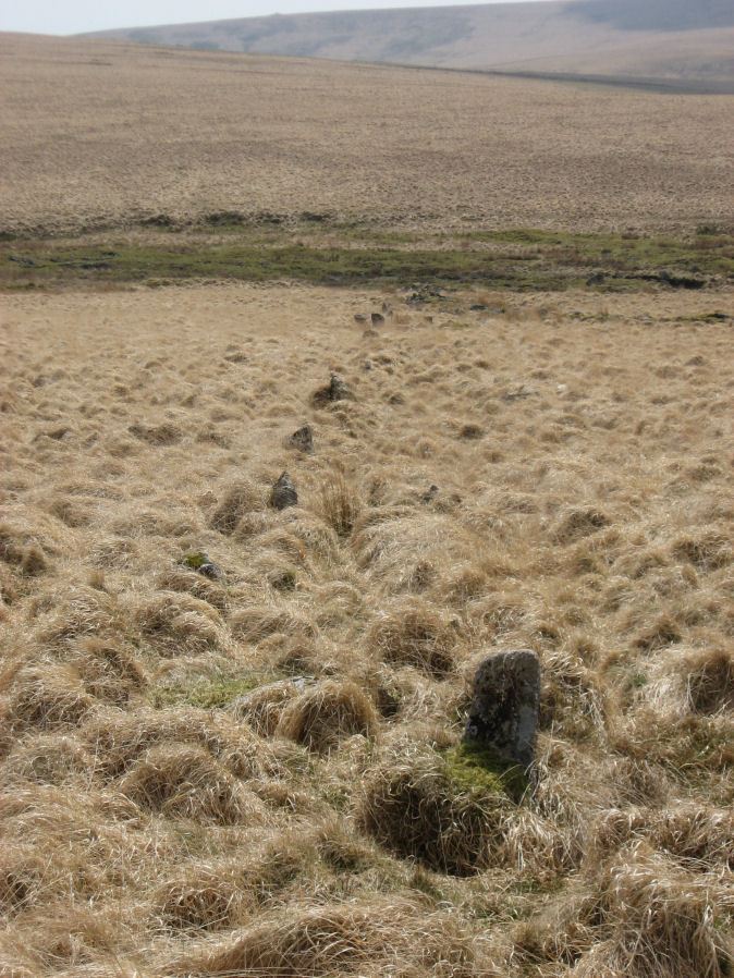
Photo taken on 02-05-2013
Database entries
OS Map: SX 64112 65318
OS Source: SRGB
HER: MDV5136
Megalithic Portal: 1788
The Stone Rows of GB: Hook Lake
PMD: Brown Heath Stone Row
Alternate name: Hook Lake
Short Name: SR Hook Lake
Butler map: 55.8
DPD page: 74
Exist: Yes
Record: Unique
Record Source: PDW
Hut Class: No
Barrow Report: 38
Dimensions (m): 227
Lidar: SX 64112 65318
Guide Map: 51
Nearest Bus Stop: Cornwood Crossways (8.8 km) [Route: 59]
Nearby sites: SX 64112 65318
Notes
Worth: Brown Heath, Butler: Hook Lake. "On the southwest slopes of Brown Heath a double stone row 182.0m. long runs from a cairn circle at its northern and higher end to the east side of the enclosure (SX 66 NW 50) where it is overlaid by the enclosure wall. The point at which the southern end of the row ended is therefore not easily determined. The row does not point exactly to the centre of the cairn, but to about 2.0m. to the East. The eastern part of the row contains more stones than the western part, in which there are notable gaps. There are a few large stones, the largest being 1.0m. high and measuring 1.0m. x 0.7m., but most are relatively small, their average height being 0.5m". Lethbridge p.74, diagram p.71. See also: Sea Views at Hook Lake/References
These are selected references with an emphasis on out of copyright sources linked as PDFs. For more detailed references try any linked HER or PMD record above.
- Bate, C Spence, On the Prehistoric Antiquities of Dartmoor, T.D.A. Vol.4 pp.491-516 (1871)
- Butler, Jeremy, Dartmoor Atlas of Antiquities, vol.4: The South-East, (1993)
- Davidson, C. & Seabrook, R., Stone rings on south-east Dartmoor, D.A.S.P. No.31 (1973)
- Emmett, D.D., Stone rows: the traditional view reconsidered, D.A.S.P. No.37 pp.94-114 (1979)
- Gerrard, Sandy, English Heritage Book of Dartmoor: Landscapes Through Time, (1997)
- Lethbridge, William D., Discover Preshistoric Dartmoor, (2015)
- Newman, Phil, The Upper Erme Valley Dartmoor National Park Devon An Archaeological Survey, Southwest Landscape Investigations (2018)
- Worth, R. Hansford, The Erme, Yealm and Torry part 1, T.P.I. Vol.11 part 1 pp.173-183 (1892)
- Worth, R. Hansford, Barrow Report 38, T.D.A. Vol.51 p.79 (1919)
- Worth, R. Hansford, The Prehistoric Pounds of Dartmoor, T.D.A. Vol.75 pp.273-302 (1943)
- Worth, R. Hansford, The Stone Rows of Dartmoor Part 1, T.D.A. Vol.78 pp.285-316 (1946)