
Hamel Down N.E. row Cairn
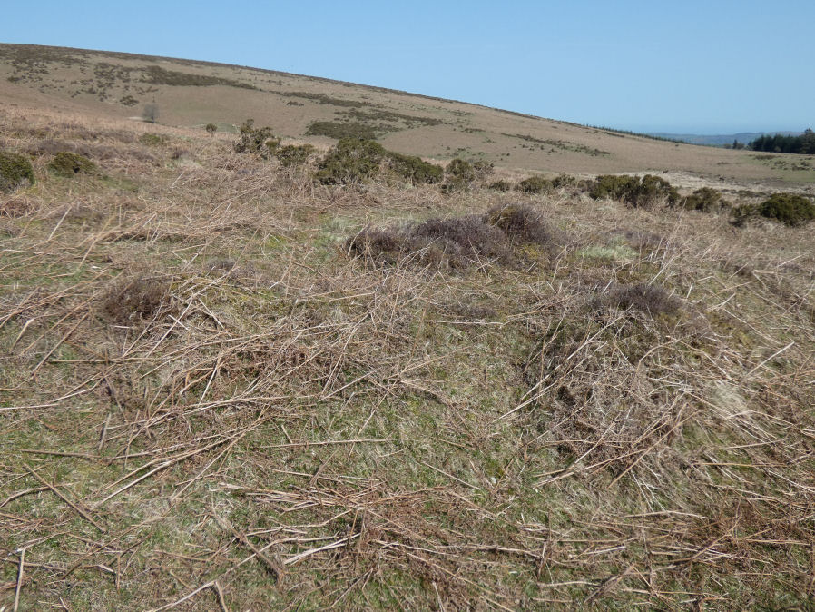
Photo taken on 08-04-2026
Database entries
OS Map: SX 71487 80100
OS Source: Garmin
HER: MDV18865
Alternate name: Hamel Down N.E. row
Short Name: CN HamelRow
Butler map: 20.3
Exist: Yes
Record: Unique
Record Source: SRGB
Hut Class: No
Cairn Class: Yes
Lidar: SX 71487 80100
Guide Map: 29
Nearest Bus Stop (Minor): Swallerton Gate (3.4 km) [Route: 271]
Nearest Bus Stop (Major): Postbridge Bellever (6.6 km) [Route: 98]
Nearby sites: SX 71487 80100
Notes
Fleming (1983): stone row sse of berry pound. There is a cairn at the west end at sx71488010. The minimum length of the row is 217 m: it may be longer. It is largely destroyed: 5 upright stones, one leaning, one uprooted, and three stoneholes are still visible. Orientation 270 degrees. In one place there is evidence that it was a double row.Butler p.146: Uphill the row is orientated towards a mound and pit just beyond the field boundary which takes a dog-leg around it, possibly the remains of a damaged cairn.
The author visited this feature on 01/04/2026 and again on 08/04/2026 with Steve Szypko. On the first visit we failed to find the cairn as it looked like confused remains of walling. This contradicted the account from Fleming and Butler and on a return visit we found the badly damaged cairn and can confirm the account given by Butler. We also surveyed the row on both occasions.
See: Hameldown N.E. Stone Row
References
These are selected references with an emphasis on out of copyright sources linked as PDFs. For more detailed references try any linked HER or PMD record above.
- Butler, Jeremy, Dartmoor Atlas of Antiquities, vol.1: The East, (1991)
- Fleming, Andrew, The Prehistoric Landscape of Dartmoor Part 2: North and East Dartmoor , Proceedings of the Prehistoric Society , Volume 49 , Issue 1 , pp. 195 - 241 (1983)