
Black Hill 5 Cairn
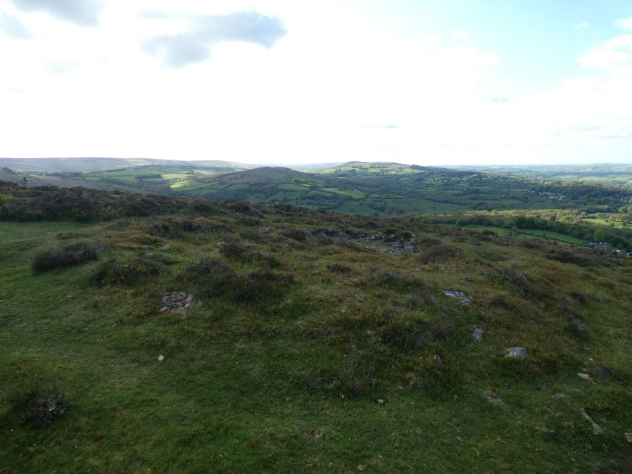
Photo taken on 15-05-2023
Database entries
OS Map: SX 76285 78989
OS Source: Google
Butler OS: SX76247899
HER: MDV8046
Alternate name: Black Hill 5
Short Name: CN BlackHill 5
Butler map: 2.5.5
Grinsell: MANATON 15
Exist: Yes
Record: Unique
Record Source: Butler
Hut Class: No
Cairn Class: Yes
Dimensions (m): 11.9 x 0.5
Lidar: SX 76285 78989
Guide Map: 31
Nearest Bus Stop (Minor): Manaton Becky Falls (1.4 km) [Route: 271,671]
Nearest Bus Stop (Major): Lustleigh Bishops Stone (3.4 km) [Route: 178]
Nearby sites: SX 76285 78989
Notes
"A cairn at SX76297898 (note slight variation) with a maximum height at the rim of 0.5 meters with a probable retaining stone in the west. The centre of the cairn has been dug out. Other details: Plan."References
These are selected references with an emphasis on out of copyright sources linked as PDFs. For more detailed references try any linked HER or PMD record above.
- Butler, Jeremy, Dartmoor Atlas of Antiquities, vol.1: The East, (1991)
- Crossing, William, Guide to Dartmoor, (2001)
- Grinsell, L.V., Dartmoor Barrows, Devon Archaeological Society Proceedings No.36 (1978)