
Vogwell Down 2 Round House
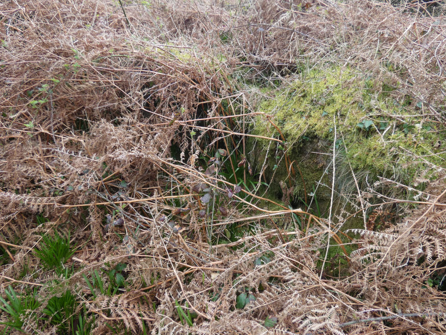
Photo taken on 01-04-2026
Database entries
OS Map: SX 72209 81370
OS Source: Garmin
HER: MDV8718
Alternate name: Vogwell Down 2
Short Name: HT:Vogwell D2
Butler map: 20.20
Exist: Yes
Record: Unique
Record Source: Sandy
Hut Class: Yes
Lidar: SX 72209 81370
Guide Map: 30
Nearest Bus Stop (Minor): Manaton Bus Shelter (3.6 km) [Route: 271,671]
Nearest Bus Stop (Major): Moretonhampstead Court Street Car Park (5.5 km) [Route: 173, 171(20/07/26 to 19/09/26)]
Nearby sites: SX 72209 81370
Notes
HER: Hut circle B measures 7.0 metres in diameter with walls 1.0 metre thick. It is in fair condition but has been mutilated by a leat. Appears to be of single wall type and there is no associated Bronze Age enclosure or field system. It is cut into the northern slopes of a hill. No entrance is visible. Other details: Sketch plan and copy of a photograph included.References
These are selected references with an emphasis on out of copyright sources linked as PDFs. For more detailed references try any linked HER or PMD record above.
- Butler, Jeremy, Dartmoor Atlas of Antiquities, vol.1: The East, (1991)