
Throwleigh Common Round House
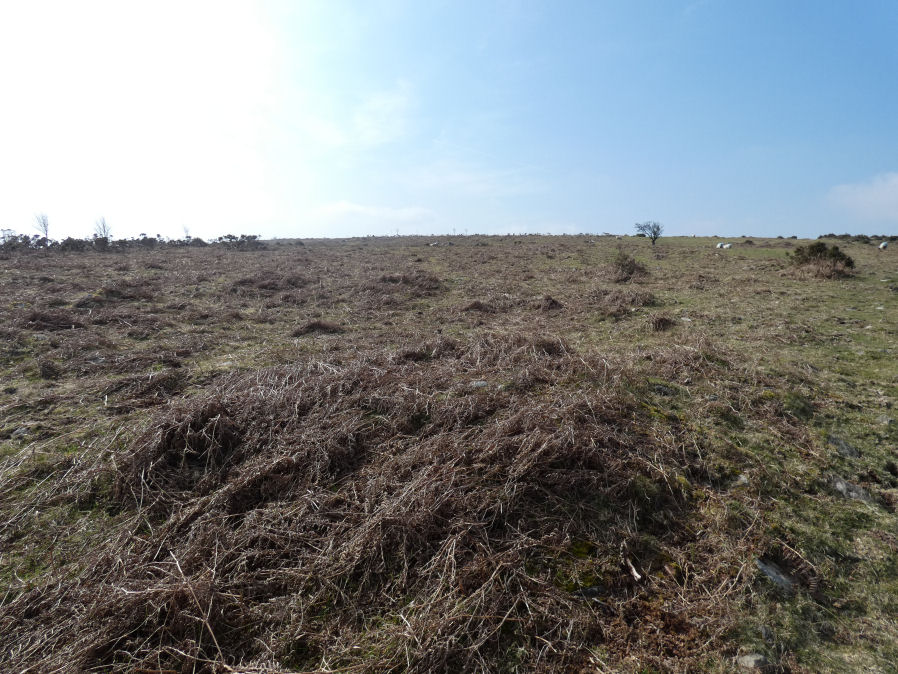
Photo taken on 24-03-2025
Database entries
OS Map: SX 65747 90934
OS Source: Google
HER: MDV27495
Alternate name: Throwleigh Common
Short Name: HT Throwleig10
Butler map: 39.1.4
Exist: Yes
Record: Unique
Record Source: Sandy
Hut Class: Yes
Lidar: SX 65747 90934
Guide Map: 8
Nearest Bus Stop (Minor): Throwleigh Cross (1.4 km) [Route: 670]
Nearest Bus Stop (Major): Ramsley (2.4 km) [Route: 670,671,6A]
Nearby sites: SX 65747 90934
Notes
HER entry is for reave - is there a separate entry for the round house?References
These are selected references with an emphasis on out of copyright sources linked as PDFs. For more detailed references try any linked HER or PMD record above.
- Fleming, Andrew, The Prehistoric Landscape of Dartmoor Part 2: North and East Dartmoor , Proceedings of the Prehistoric Society , Volume 49 , Issue 1 , pp. 195 - 241 (1983)
- Newman, Phil, Throwleigh Common, Throwleigh, Devon. A 'Premier Archaeological Landscape' within Dartmoor National Park, English Heritage (2007)