
Heatree Down House 2 Round House
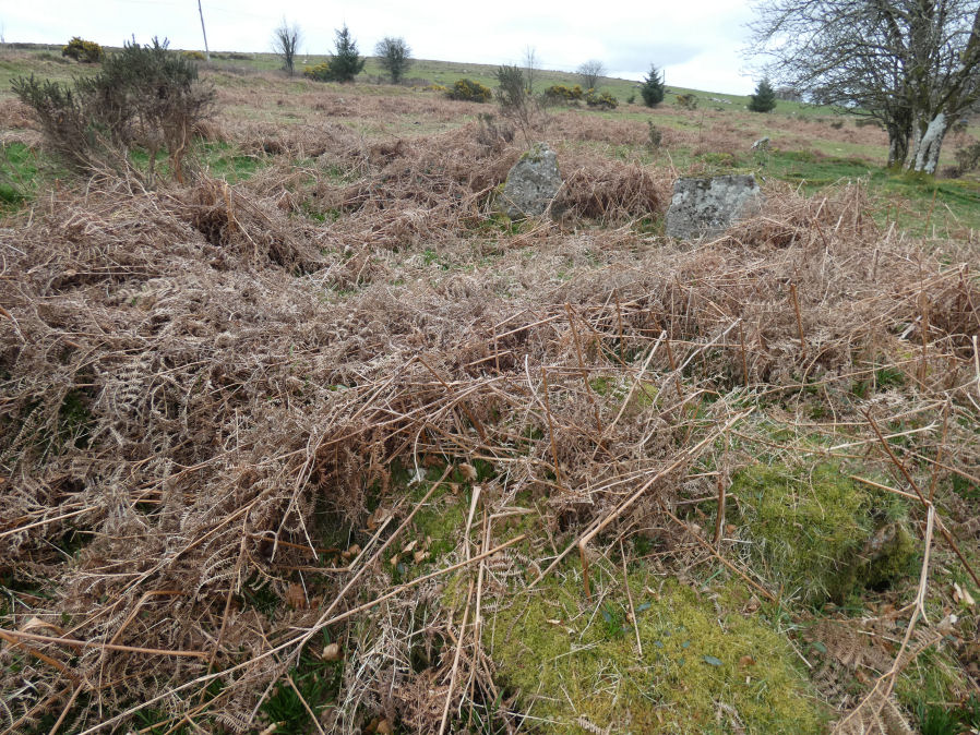
Photo taken on 01-04-2026
Database entries
OS Map: SX 72231 80574
OS Source: Garmin
HER: MDV55529
Alternate name: Heatree Down House 2
Short Name: HT:Heatree 2
Butler map: 20.19
Exist: Yes
Record: Unique
Record Source: Sandy
Hut Class: Yes
Lidar: SX 72231 80574
Guide Map: 30
Nearest Bus Stop (Minor): Swallerton Gate (2.9 km) [Route: 271]
Nearest Bus Stop (Major): Moretonhampstead Court Street Car Park (6.2 km) [Route: 173, 171(20/07/26 to 19/09/26)]
Nearby sites: SX 72231 80574
Notes
HER: Hut circle 2 excavated by minter in 1968. Diam c.6.5m. Entrance to s. Wall comprised inner + outer orthostats and core of rubble, soil + redeposited grown. The 2 orthostats to e of entrance were re-erected during excavation. A socket for a stone now fallen was identified. Wall enclosed area c.5m diam with roughly level floor of compact brown soil containing a few paving stones on lower, w, side. Two deeply-set stones described as 'drain cover' and a feature described as an 'anvil'. In centre was a burnt area surrounded by rough oval of small stones. Entrance contained paving which continued into interior for c.1m.For a diagram of Heatree House 2 see Gerrard (1997) p.38
References
These are selected references with an emphasis on out of copyright sources linked as PDFs. For more detailed references try any linked HER or PMD record above.
- Butler, Jeremy, Dartmoor Atlas of Antiquities, vol.1: The East, (1991)
- Gerrard, Sandy, English Heritage Book of Dartmoor: Landscapes Through Time, (1997)
- Quinnell, H., The late Mrs E. M. Minter's excavation of hut circles at Heatree, Manaton in 1968 , D.A.S.P. No.49 (1991)