
Heatree Down House 1 Round House
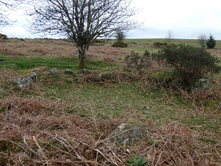
Photo taken on 01-04-2026
Database entries
OS Map: SX 72220 80558
OS Source: Garmin
HER: MDV55528
Alternate name: Heatree Down House 1
Short Name: HT:Heatree 1
Butler map: 20.19
Exist: Yes
Record: Unique
Record Source: Sandy
Hut Class: Yes
Lidar: SX 72220 80558
Guide Map: 30
Nearest Bus Stop (Minor): Swallerton Gate (2.9 km) [Route: 271]
Nearest Bus Stop (Major): Moretonhampstead Court Street Car Park (6.2 km) [Route: 173, 171(20/07/26 to 19/09/26)]
Nearby sites: SX 72220 80558
Notes
HER: Hut circle 1. Excavated by minter in 1968. Diam c.8m. Internally oval, c.5.5m by 6m. Wall up to 1.2m wide, originally with both internal + external facing orthostats, packed with soil, redeposited growan + rubble. Entrance to se defined either side by orthostats set across wall line. Inside were 2 neat stone-lined post-holes within worn + roughly piled rubble. This was interpreted as relating to later re-use. Interior of hut roughly level, with a hard earth floor giving way to paving on the w. Two probable post holes, c.0.2m deep were located. A line of stones described as 'drain covers' ran from entrance towards centre, directly overlying a depression.References
These are selected references with an emphasis on out of copyright sources linked as PDFs. For more detailed references try any linked HER or PMD record above.
- Butler, Jeremy, Dartmoor Atlas of Antiquities, vol.1: The East, (1991)
- Quinnell, H., The late Mrs E. M. Minter's excavation of hut circles at Heatree, Manaton in 1968 , D.A.S.P. No.49 (1991)