
Holne Lee Stone Ring Cairn Circle
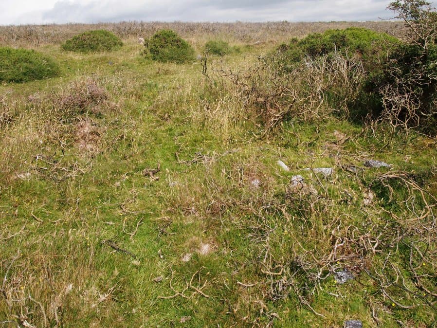
Photo taken on 15-07-2016
Database entries
OS Map: SX 68656 69919
OS Source: Garmin
Butler OS: SX68656990
HER: MDV5199
Megalithic Portal: 45836
Alternate name: Holne Lee 7
Short Name: RC Holne Lee 7
Butler map: 58.11.7
Grinsell: HOLNE 17
Turner: A32
Exist: Yes
Record: Unique
Record Source: Butler
Hut Class: No
Cairn Class: Yes
Dimensions (m): 18.0 x 0.8
Lidar: SX 68656 69919
Guide Map: 45
Nearest Bus Stop: Poundsgate Tavistock Inn (3.8 km) [Route: 172]
Nearby sites: SX 68656 69919
Notes
HER: One of two cairns of probable Bronze Age date on Holne Lee. Cairn is 21 metres in diameter and is constructed of small boulders, and consists of a platform 14 metres diameter and about 0.2m high, with a perimeter rim average thickness 3.5m and 0.5m high. There is a gap, 4.3m wide, facing north north-east.References
These are selected references with an emphasis on out of copyright sources linked as PDFs. For more detailed references try any linked HER or PMD record above.
- Butler, Jeremy, Dartmoor Atlas of Antiquities, vol.4: The South-East, (1993)
- Grinsell, L.V., Dartmoor Barrows, Devon Archaeological Society Proceedings No.36 (1978)
- Newman, Phil; Probert, S. A. J, Holne Moor, Dartmoor, Devonshire. A Landscape Survey, Royal Commission on the Historical Monuments of England (1997)
- Turner, J.R., Ring Cairns, stone circles and related monuments on Dartmoor, D.A.S.P. No.48 pp.27-86 (1990)