
Taw Marsh S.3 Clearance Cairn
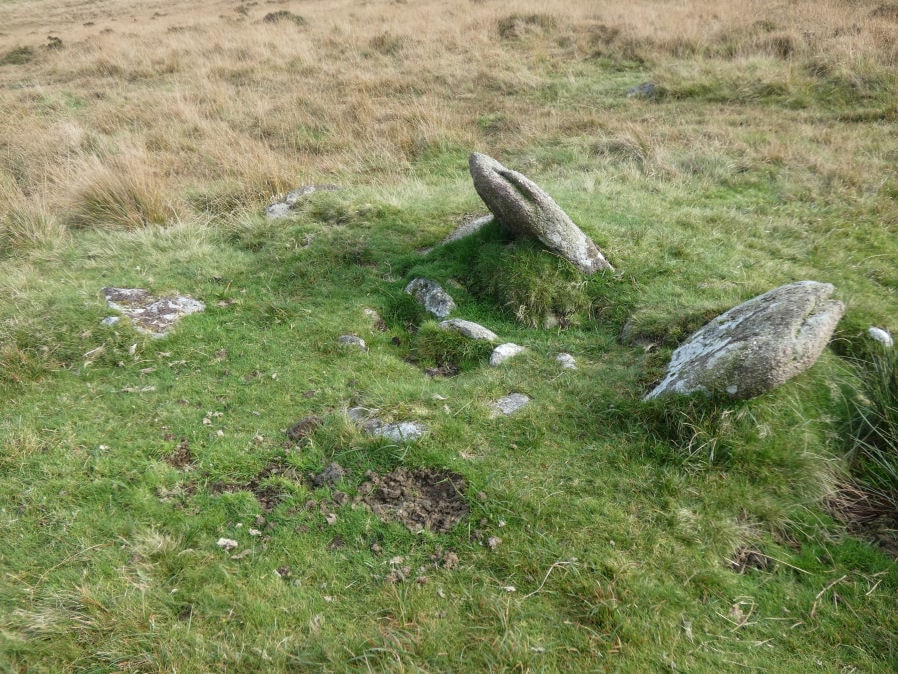
Photo taken on 11-10-2024
Database entries
OS Map: SX 62183 90381
OS Source: Garmin
HER: MDV51214
Alternate name: Taw Marsh S.3
Short Name: CN TawMarsh S3
Exist: Yes
Record: Unique
Record Source: HER
Hut Class: No
Cairn Class: Yes
Dimensions (m): 2.5-4.1 x 0.6
Lidar: SX 62183 90381
Guide Map: 7
Nearest Bus Stop (Minor): Belstone Car Park (4.4 km) [Route: 670]
Nearest Bus Stop (Major): Ramsley (3.9 km) [Route: 670,671,6A]
Nearby sites: SX 62183 90381
Notes
"an irregular, much disturbed cairn situated on gently sloping stony ground at nw foot of metheral hill and measuring 4.1m ne to sw by 2.5m with maximum height of 0.6m.3 large learning slabs lie on sw side with visible smaller boulders forming the matrix. Probably designed to mark parish boundaries of dartmoor forest and south tawton, running from ngr sx62539001 on metheral hill to ngr sx61769094 on the river taw." Formely listed here as Taw Marsh S.4 renamed to S.3 after removign duplicate entries.References
These are selected references with an emphasis on out of copyright sources linked as PDFs. For more detailed references try any linked HER or PMD record above.
- Newman, Phil, Archaeological Sites within Okehampton Training Area, Southwest Landscape Investigations (2014)