Wild Tor N.E.1 Cairn

Eight Report of the Dartmoor Exploration Committee, T.D.A. Vol.34 (1902) p. 164
Database entries
OS Map: SX 62912 88080
OS Source: HER
Butler OS: SX62908810
HER: MDV4370
Alternate name: Wild Tor N.E.1
Short Name: CN:Wild Tor 1
Butler map: 41.6
Grinsell: THROWLEIGH 1
Exist: Yes
Record: Unique
Record Source: Butler
Hut Class: No
Cist Class: Maybe
Cairn Class: Yes
Dimensions (m): 6.5 x 0.5 C
Lidar: SX 62912 88080
Guide Map: 11
Nearest Bus Stop (Minor): Wonson Telephone Box (6.1 km) [Route: 670]
Nearest Bus Stop (Major): Ramsley (5.5 km) [Route: 670,671,6A]
Nearby sites: SX 62912 88080
Notes
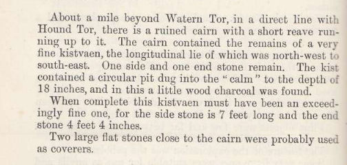
This is probably the cist and cairn excavated by Baring-Gould c1900. No trace of a cist today. Spooner observed a cairn in this vicinity in 1960. This maybe the cist excavated in 1900 or could be a different feature. Grinsell recorded these with two separate records.DEC Report (1902): About a mile beyond Watern Tor, in a direct line with Hound Tor, there is a ruined cairn with a short reave running up to it. The cairn contained the remains of a very fine kistvaen, the longitudinal lie of which was north-west to south-east. One side and one end stone remain. The kist contained a circular pit dug into the "calm" to the depth of 18 inches, and in this a little wood charcoal was found. When complete this kistvaen must have been an exceedingly fine one, for the side stone is 7 feet long and the end stone 4 feet 4 inches. Two large flat stones close to the cairn were probably used as coverers.
See also Wild Tor N.E.2 (THR 1, 2. SiteID=2505)
References
These are selected references with an emphasis on out of copyright sources linked as PDFs. For more detailed references try any linked HER or PMD record above.
- Baring-Gould, Sabine, Eight Report of the Dartmoor Exploration Committee, T.D.A. Vol.34 pp.160-167 (1902)
- Butler, Jeremy, Dartmoor Atlas of Antiquities, vol.2: The North, (1991)
- Grinsell, L.V., Dartmoor Barrows, Devon Archaeological Society Proceedings No.36 (1978)
- Newman, Phil, Archaeological Sites within Okehampton Training Area, Southwest Landscape Investigations (2014)