
White Hill S.W.4 Cairn
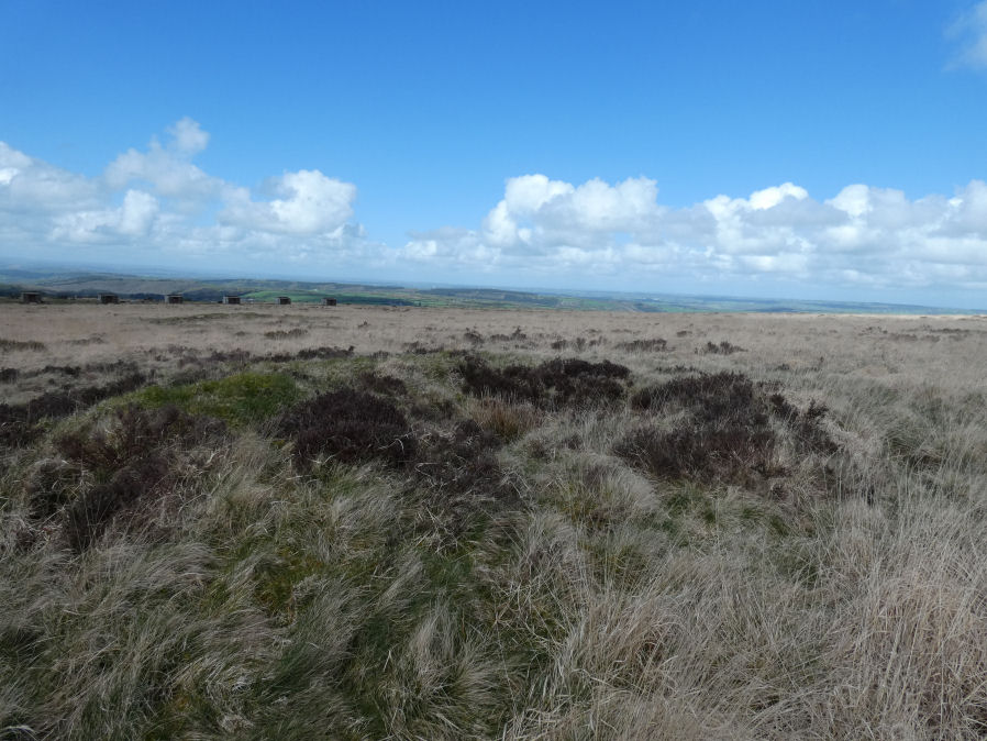
Photo taken on 18-04-2026
Database entries
OS Map: SX 53048 83661
OS Source: Google
Butler OS: SX53058365
HER: MDV21080
Alternate name: White Hill S.W.4
Short Name: CN:WhiteHiSW 4
Butler map: 32.22.4
Grinsell: PETER TAVY 4
Exist: Yes
Record: Unique
Record Source: Butler
Hut Class: No
Cairn Class: Yes
Barrow Report: 10 13
Dimensions (m): c.9.0 x 1.2
Lidar: SX 53048 83661
Guide Map: 15
Nearest Bus Stop: Dartmoor Inn (2.3 km) [Route: 118]
Nearby sites: SX 53048 83661
Notes
HER: Round cairn of 10 metres diameter by 0.9 metres high within cairn cemetery on the south-west side of White Hill. A central hollow of 4 metres diameter by 0.6 metres deep is probably the result of the 1888 excavationGerrard: Round cairn, diameter 10m, height 0.9m. Central hollow, 4m in diameter and 0.6m deep is probably result of 1888 Baring Gould excavation which revealed a pan/basin containing ashes and charcoal.
References
These are selected references with an emphasis on out of copyright sources linked as PDFs. For more detailed references try any linked HER or PMD record above.
- Butler, Jeremy, Dartmoor Atlas of Antiquities, vol.2: The North, (1991)
- Grinsell, L.V., Dartmoor Barrows, Devon Archaeological Society Proceedings No.36 (1978)
- Worth, R.N., Barrow Report 10, T.D.A. Vol.20 (1888)
- Worth, R.N., Barrow Report 13, T.D.A. Vol.23 (1891)