
Rowtor Brook 1 Cairn
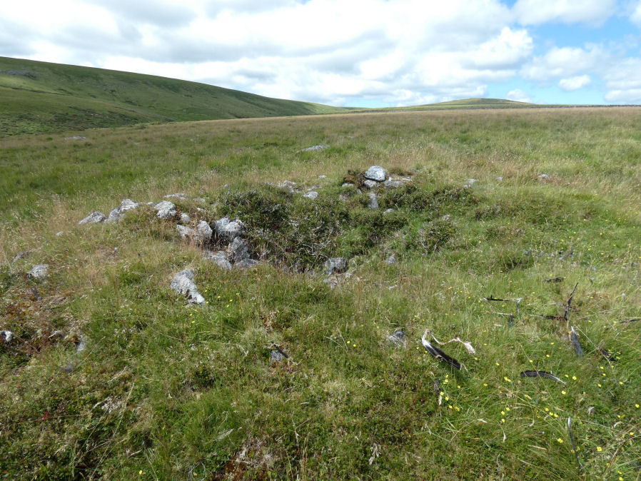
Photo taken on 09-07-2025
Database entries
OS Map: SX 62786 78626
OS Source: Google
Butler OS: SX62797863
HER: MDV5837
Alternate name: Rowtor Brook 1
Short Name: CN RowtorBr 1
Butler map: 27.17.1
Grinsell: LYDFORD 44
Exist: Yes
Record: Unique
Record Source: Butler
Hut Class: No
Cairn Class: Yes
Dimensions (m): 8.5 x 1.4
Lidar: SX 62786 78626
Guide Map: 28
Nearest Bus Stop: Postbridge Post Office (2.6 km) [Route: 98,171(20/07/26 to 19/09/26)]
Nearby sites: SX 62786 78626
Notes
HER: The eastern of a pair of cairns, measures 9.4 metres diameter and 1.1 metre high. Was excavated around 1900 by the Dartmoor Exploration Committee and has a central depression 2.8 metres across 1.0 metre deep. This work revealed a pit filled with wood charcoal, which 'probably originally contained burnt bones'.References
These are selected references with an emphasis on out of copyright sources linked as PDFs. For more detailed references try any linked HER or PMD record above.
- Baring-Gould, Sabine, Seventh Report of the Dartmoor Exploration Committee, T.D.A. Vol.33 pp.130-138 (1901)
- Burnard, Robert, Notes on Dartmoor Kistvaens, T.D.A. Vol.22 pp.200-207 (1890)
- Butler, Jeremy, Dartmoor Atlas of Antiquities, vol.2: The North, (1991)
- Grinsell, L.V., Dartmoor Barrows, Devon Archaeological Society Proceedings No.36 (1978)
- Prowse, Arthur B., The Ancient Metropolis of Dartmoor, T.D.A. Vol.23 pp.307-14 (1891)